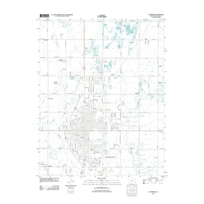
2012 Map of Pittsburg
USGS Topo · Published 2012About this map
Cow Cr and its tributaries, including First Cow Cr and Second Cow Cr, define the drainage patterns of this eastern Kansas landscape. The area around Pittsburg and Frontenac shows a dense grid of local roads and thoroughfares such as N Free King Hwy and W McKay St. Cultural and civic landmarks are prominent, including the sprawling campus of Pittsburg State Univ and the Atkinson Municipal Airport to the west.
Find a feature on this map
142 named features on this map. Tap any name to fly to it.
Don’t see what you’re looking for? This feature index may not catch every label — zoom into the map to look around manually.
Map Details
Editions of this 2012 Pittsburg Map
This is the sole edition of this map. No revisions or reprints were ever made.
Other maps of this area

1884 · Fort Scott
USGS Topo · 1:125,000

1886 · Joplin
USGS Topo · 1:125,000

1886 · Fort Scott
USGS Topo · 1:125,000

1893 · Fort Scott
USGS Topo · 1:125,000

1894 · Joplin
USGS Topo · 1:125,000

1943 · Cherokee
USGS Topo · 1:62,500

1945 · Pittsburg
USGS Topo · 1:62,500

1945 · Cherokee
USGS Topo · 1:62,500

1947 · Joplin
USGS Topo · 1:250,000

1947 · Pittsburg
USGS Topo · 1:62,500