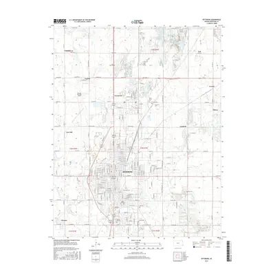
2015 Map of Pittsburg
USGS Topo · Published 2015About this map
Pittsburg stands as the primary urban center in this detailed Crawford County survey, showing the city's extensive gridiron street plan and its role as an educational hub through the Pittsburg State University campus. The surrounding landscape is a patchwork of smaller industrial and residential settlements that grew alongside the region's coal mining heritage, including Frontenac, Chicopee, and Dunkirk. The map reveals a dense distribution of local heritage sites, particularly cemeteries like Mount Olive Cemetery and Highland Park Cemetery, which serve as vital markers for genealogical research in these tight-knit communities.
Find a feature on this map
112 named features on this map. Tap any name to fly to it.
Don’t see what you’re looking for? This feature index may not catch every label — zoom into the map to look around manually.
Map Details
Editions of this 2015 Pittsburg Map
This is the sole edition of this map. No revisions or reprints were ever made.
Other maps of this area

1884 · Fort Scott
USGS Topo · 1:125,000

1886 · Joplin
USGS Topo · 1:125,000

1886 · Fort Scott
USGS Topo · 1:125,000

1893 · Fort Scott
USGS Topo · 1:125,000

1894 · Joplin
USGS Topo · 1:125,000

1943 · Cherokee
USGS Topo · 1:62,500

1945 · Pittsburg
USGS Topo · 1:62,500

1945 · Cherokee
USGS Topo · 1:62,500

1947 · Joplin
USGS Topo · 1:250,000

1947 · Pittsburg
USGS Topo · 1:62,500