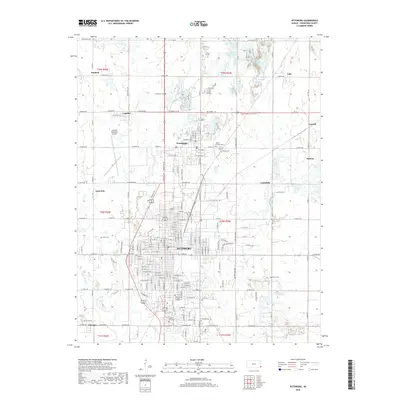
2018 Map of Pittsburg
USGS Topo · Published 2018About this map
Pittsburg and its surrounding communities in Crawford County appear as a dense network of residential streets and municipal landmarks in this late 2010s survey. The landscape reflects the transition from historic mining settlements to modern regional centers, with Frontenac and Chicopee situated along major transit corridors. Significant local landmarks include the Atkinson Municipal Airport to the northwest and several large burial grounds that serve as repositories of local heritage, such as Mount Carmel Cem, Highland Park Cem, and Frontenac Cem.
Find a feature on this map
99 named features on this map. Tap any name to fly to it.
Don’t see what you’re looking for? This feature index may not catch every label — zoom into the map to look around manually.
Map Details
Editions of this 2018 Pittsburg Map
This is the sole edition of this map. No revisions or reprints were ever made.
Other maps of this area

1884 · Fort Scott
USGS Topo · 1:125,000

1886 · Joplin
USGS Topo · 1:125,000

1886 · Fort Scott
USGS Topo · 1:125,000

1893 · Fort Scott
USGS Topo · 1:125,000

1894 · Joplin
USGS Topo · 1:125,000

1943 · Cherokee
USGS Topo · 1:62,500

1945 · Pittsburg
USGS Topo · 1:62,500

1945 · Cherokee
USGS Topo · 1:62,500

1947 · Joplin
USGS Topo · 1:250,000

1947 · Pittsburg
USGS Topo · 1:62,500