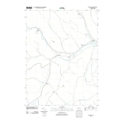
2010 Map of Pittsfield
USGS Topo · Published 2010About this map
Brokenstraw Creek serves as the central geographic artery for this portion of Warren County, where the settlements of Garland and Pittsfield established themselves along the valley floor. The map documents a landscape defined by its stream drainage and small rural crossroads like Torpedo and Ross Hill Corners. Evidence of early industrial and transportation infrastructure is found in the Quarry near Baker Rocks and the Horn Siding rail spur along the creek. Genealogists will find historical value in the presence of Riverside Cemetery and Whitestown Cemetery, which sit near the intersection of local routes like Old Garland Rd and Kane Rd. The topography is marked by significant elevations such as Cole Hill and the numerous runs, including Blue Eye Run and Little Brokenstraw Creek, that feed into the main waterway, illustrating the enduring layout of these Pennsylvania townships into the early 21st century.
Find a feature on this map
46 named features on this map. Tap any name to fly to it.
Don’t see what you’re looking for? This feature index may not catch every label — zoom into the map to look around manually.
Map Details
Editions of this 2010 Pittsfield Map
This is the sole edition of this map. No revisions or reprints were ever made.
Other maps of this area

1926 · Youngsville
USGS Topo · 1:62,500

1927 · Tidioute
USGS Topo · 1:48,000

1927 · Titusville
USGS Topo · 1:62,500

1929 · Corry
USGS Topo · 1:48,000

1929 · Youngsville
USGS Topo · 1:62,500

1930 · Tidioute
USGS Topo · 1:62,500

1932 · Corry
USGS Topo · 1:62,500

1933 · Titusville
USGS Topo · 1:62,500

1943 · Youngsville
USGS Topo · 1:62,500

1957 · Warren
USGS Topo · 1:250,000