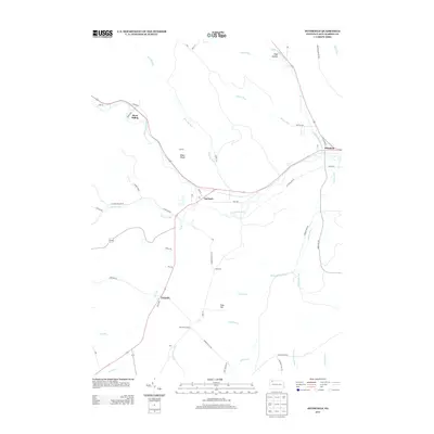
2013 Map of Pittsfield
USGS Topo · Published 2013About this map
Garland and Pittsfield sit as the primary hubs along the winding course of Brokenstraw Cr in this rural Pennsylvania landscape. The map illustrates a network of valleys carved by numerous waterways, including Little Brokenstraw Cr and Blue Eye Run, which converge near these established settlements. The presence of Horn Siding and Torpedo suggests a history tied to the regional rail and transport corridors that followed these natural drainages.
Find a feature on this map
58 named features on this map. Tap any name to fly to it.
Don’t see what you’re looking for? This feature index may not catch every label — zoom into the map to look around manually.
Map Details
Editions of this 2013 Pittsfield Map
This is the sole edition of this map. No revisions or reprints were ever made.
Other maps of this area

1926 · Youngsville
USGS Topo · 1:62,500

1927 · Tidioute
USGS Topo · 1:48,000

1927 · Titusville
USGS Topo · 1:62,500

1929 · Corry
USGS Topo · 1:48,000

1929 · Youngsville
USGS Topo · 1:62,500

1930 · Tidioute
USGS Topo · 1:62,500

1932 · Corry
USGS Topo · 1:62,500

1933 · Titusville
USGS Topo · 1:62,500

1943 · Youngsville
USGS Topo · 1:62,500

1957 · Warren
USGS Topo · 1:250,000