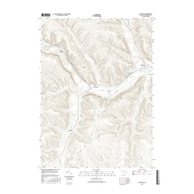
2016 Map of Pittsfield
USGS Topo · Published 2016About this map
Brokenstraw Creek winds through this section of Warren County, carving a valley that anchors the local settlements of Pittsfield and Garland. The landscape is defined by its deep drainages and named elevations like Cole Hill and Pulfer Hill, creating a network of ridges separated by numerous small runs and creeks. The distribution of small hubs like Torpedo, Whitestown, and the rail-oriented Horn Siding indicates a long-standing pattern of rural development centered on water access and valley transport routes. Genealogists and local researchers can trace the connections between these established communities, often linked by roads following the natural contours of the land, such as Tidioute Creek Rd and Mickle Hill Rd. Notable local landmarks like Riverside Cem and Baker Rocks provide specific points of reference within the township's topography.
Find a feature on this map
48 named features on this map. Tap any name to fly to it.
Don’t see what you’re looking for? This feature index may not catch every label — zoom into the map to look around manually.
Map Details
Editions of this 2016 Pittsfield Map
This is the sole edition of this map. No revisions or reprints were ever made.
Other maps of this area

1926 · Youngsville
USGS Topo · 1:62,500

1927 · Tidioute
USGS Topo · 1:48,000

1927 · Titusville
USGS Topo · 1:62,500

1929 · Corry
USGS Topo · 1:48,000

1929 · Youngsville
USGS Topo · 1:62,500

1930 · Tidioute
USGS Topo · 1:62,500

1932 · Corry
USGS Topo · 1:62,500

1933 · Titusville
USGS Topo · 1:62,500

1943 · Youngsville
USGS Topo · 1:62,500

1957 · Warren
USGS Topo · 1:250,000