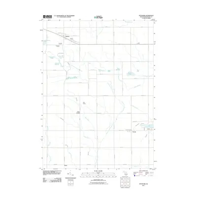
2011 Map of Pittsford
USGS Topo · Published 2011About this map
The East Branch Saint Joseph River and its numerous tributaries, including Goose Creek and Bird Creek, define the drainage patterns of this rural Hillsdale County landscape. Small agricultural hubs like Pittsford, Prattville, and Lickly Corners serve as the primary focal points of human settlement, each supported by local institutions such as the Pittsford Post Office and Prattville Post Office. The township layout is heavily defined by a regular grid of country roads, including Tamarack Rd and Squawfield Rd, which connect the various farms to the community centers.
Find a feature on this map
53 named features on this map. Tap any name to fly to it.
Don’t see what you’re looking for? This feature index may not catch every label — zoom into the map to look around manually.
Map Details
Editions of this 2011 Pittsford Map
This is the sole edition of this map. No revisions or reprints were ever made.
Other maps of this area

1913 · Alvordton
USGS Topo · 1:62,500

1914 · Pioneer
USGS Topo · 1:62,500

1944 · Pioneer
USGS Topo · 1:62,500

1944 · Alvordton
USGS Topo · 1:62,500

1953 · Fort Wayne
USGS Topo · 1:250,000

1956 · Fort Wayne
USGS Topo · 1:250,000

1959 · North Adams
USGS Topo · 1:24,000

1959 · Frontier
USGS Topo · 1:24,000

1960 · Fayette
USGS Topo · 1:24,000
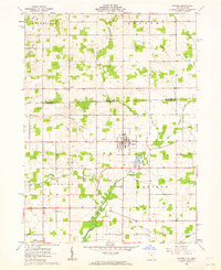
1961 · Pioneer
USGS Topo · 1:24,000