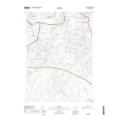
2019 Map of Pittsford
USGS Topo · Published 2019About this map
The Erie Canal winds through this landscape southeast of Rochester, marking a corridor of historical development between Brighton, Pittsford, and East Rochester. This 2019 survey documents a region defined by its dense academic and civic institutions, including Nazareth College, Saint John Fisher College, and Monroe Community College. Genealogists will find several notable interment sites, from the large Pittsford Cem to the Pioneer Burying Ground and the East Baptist Cem further south. The southern portion of the map transitions into a more varied natural landscape, characterized by features like Woodchuck Hollow, Devils Bathtub, and Quaker Pond. Historical boundaries such as the Brighton Henrietta Town Line Rd and Pittsford-Henrietta Town Line Rd trace the evolution of local governance and land division across the suburbs.
Find a feature on this map
256 named features on this map. Tap any name to fly to it.
Don’t see what you’re looking for? This feature index may not catch every label — zoom into the map to look around manually.
Map Details
Editions of this 2019 Pittsford Map
This is the sole edition of this map. No revisions or reprints were ever made.
Other maps of this area

1895 · Rochester
USGS Topo · 1:62,500

1898 · Rochester
USGS Topo · 1:62,500

1900 · Macedon
USGS Topo · 1:62,500

1900 · Canandaigua
USGS Topo · 1:62,500

1901 · Honeoye
USGS Topo · 1:62,500

1903 · Canandaigua
USGS Topo · 1:62,500

1904 · Honeoye
USGS Topo · 1:62,500

1912 · Rochester
USGS Topo · 1:62,500

1920 · Rochester
USGS Topo · 1:62,500

1931 · Mendon Ponds
USGS Topo · 1:24,000