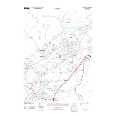
2013 Map of Pittston
USGS Topo · Published 2013About this map
The Susquehanna River flows through the heart of this industrial landscape, meeting the Lackawanna River near Coxton. This confluence defines a region deeply shaped by its anthracite coal heritage and transportation infrastructure. The map details a dense corridor of settlements including Pittston, West Pittston, and Exeter, where the grid of residential streets presses against heavy rail facilities like the Pittston Yards and significant transit points such as Pittston Junction and Number 7 Junction.
Find a feature on this map
343 named features on this map. Tap any name to fly to it.
Don’t see what you’re looking for? This feature index may not catch every label — zoom into the map to look around manually.
Map Details
Editions of this 2013 Pittston Map
This is the sole edition of this map. No revisions or reprints were ever made.
Other maps of this area

1889 · Scranton
USGS Topo · 1:62,500

1891 · Wilkesbarre
USGS Topo · 1:62,500

1891 · Scranton
USGS Topo · 1:62,500

1893 · Pittston
USGS Topo · 1:62,500

1893 · Scranton
USGS Topo · 1:62,500

1894 · Wilkesbarre
USGS Topo · 1:62,500

1922 · Stoddartsville
USGS Topo · 1:62,500

1924 · Stoddartsville
USGS Topo · 1:62,500

1943 · Scranton
USGS Topo · 1:125,000

1943 · Stoddartsville
USGS Topo · 1:62,500