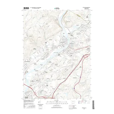
2016 Map of Pittston
USGS Topo · Published 2016About this map
The Susquehanna River flows through the heart of the Wyoming Valley, where the confluence with the Lackawanna River at Pittston Junction anchors a dense network of river-fronting boroughs. This 2016 record shows the enduring landscape of northeastern Pennsylvania's coal-and-rail corridor, from the residential grids of West Pittston and Duryea to the aviation hub at Wilkes-Barre Wyoming Valley Airport. The valley floor is punctuated by prominent river features like Wintermoot Island and Monocanock Island, while the western ridge is defined by Peterson Mtn and Mt Lookout. Local history is preserved in sites such as the Forty Fort Cem and Saint Joseph Cem, while place names like Old Boston and Port Griffith Ewen speak to the region's industrial and anthracite heritage.
Find a feature on this map
73 named features on this map. Tap any name to fly to it.
Don’t see what you’re looking for? This feature index may not catch every label — zoom into the map to look around manually.
Map Details
Editions of this 2016 Pittston Map
This is the sole edition of this map. No revisions or reprints were ever made.
Other maps of this area

1889 · Scranton
USGS Topo · 1:62,500

1891 · Wilkesbarre
USGS Topo · 1:62,500

1891 · Scranton
USGS Topo · 1:62,500

1893 · Pittston
USGS Topo · 1:62,500

1893 · Scranton
USGS Topo · 1:62,500

1894 · Wilkesbarre
USGS Topo · 1:62,500

1922 · Stoddartsville
USGS Topo · 1:62,500

1924 · Stoddartsville
USGS Topo · 1:62,500

1943 · Scranton
USGS Topo · 1:125,000

1943 · Stoddartsville
USGS Topo · 1:62,500