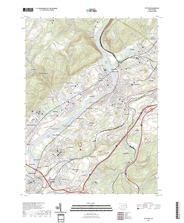
2023 Map of Pittston
USGS Topo · Published 2023About this map
Wyoming Valley's industrial and cultural core is meticulously detailed here, centered on the confluence of the Lackawanna River and the Susquehanna River. The landscape is a dense corridor of boroughs stretching from Duryea and Pittston down to Wilkes-Barre, illustrating the region's legacy of close-knit ethnic and religious communities. This is most evident in the remarkable density of religious landmarks, such as Saint Marys Polish National Catholic Cem, Old Sacred Heart Slovak Cem, and the Holy Resurrection Russian Orthodox Cem.
Find a feature on this map
111 named features on this map. Tap any name to fly to it.
Don’t see what you’re looking for? This feature index may not catch every label — zoom into the map to look around manually.
Map Details
Editions of this 2023 Pittston Map
This is the sole edition of this map. No revisions or reprints were ever made.
Other maps of this area

1889 · Scranton
USGS Topo · 1:62,500

1891 · Wilkesbarre
USGS Topo · 1:62,500

1891 · Scranton
USGS Topo · 1:62,500

1893 · Pittston
USGS Topo · 1:62,500

1893 · Scranton
USGS Topo · 1:62,500

1894 · Wilkesbarre
USGS Topo · 1:62,500

1922 · Stoddartsville
USGS Topo · 1:62,500

1924 · Stoddartsville
USGS Topo · 1:62,500

1943 · Scranton
USGS Topo · 1:125,000

1943 · Stoddartsville
USGS Topo · 1:62,500