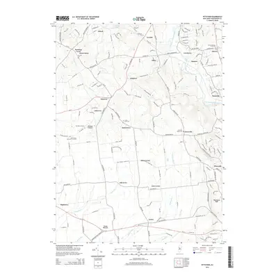
2014 Map of Pittstown
USGS Topo · Published 2014About this map
Pittstown and the surrounding Hunterdon County countryside are defined by a network of historic crossroads and small settlements. This 2014 survey captures a landscape where colonial-era churchyards and modern infrastructure coexist, from the quiet grounds of the Allerton Methodist Church Yard to the Sky Manor Airport. The drainage patterns of the South Branch Raritan River and Lockatong Cr shape the terrain, influencing the placement of old hamlets like Quakertown, Sidney, and Croton.
Find a feature on this map
166 named features on this map. Tap any name to fly to it.
Don’t see what you’re looking for? This feature index may not catch every label — zoom into the map to look around manually.
Map Details
Editions of this 2014 Pittstown Map
This is the sole edition of this map. No revisions or reprints were ever made.
Other maps of this area

1890 · Easton
USGS Topo · 1:62,500

1890 · High Bridge
USGS Topo · 1:62,500

1890 · Lambertville
USGS Topo · 1:62,500

1890 · Doylestown
USGS Topo · 1:62,500

1891 · Easton
USGS Topo · 1:62,500

1891 · Lambertville
USGS Topo · 1:62,500

1891 · Doylestown
USGS Topo · 1:62,500

1894 · Lambertville
USGS Topo · 1:62,500

1898 · High Bridge
USGS Topo · 1:62,500

1900 · Raritan
USGS Topo · 1:125,000