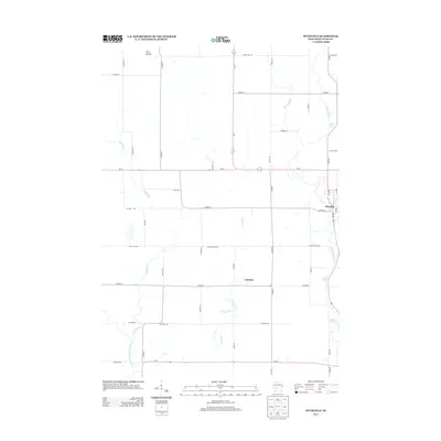
2013 Map of Pittsville
USGS Topo · Published 2013About this map
Pittsville serves as the primary hub of this central Wood County landscape, situated where the Yellow River flows southward toward the expansive Lake Dexter. The area is defined by its transition from the rolling woodlands of the north to the more open drainage basins of the East Fork Black River system. The small settlement of Veedum lies to the southwest, connected by a network of rural routes like Dexter Wood Rd and Co Hwy-E that navigate the various tributaries of Rocky Run and Turner Cr.
Find a feature on this map
48 named features on this map. Tap any name to fly to it.
Don’t see what you’re looking for? This feature index may not catch every label — zoom into the map to look around manually.
Map Details
Editions of this 2013 Pittsville Map
This is the sole edition of this map. No revisions or reprints were ever made.
Other maps of this area

1953 · Eau Claire
USGS Topo · 1:250,000

1954 · Granton
USGS Topo · 1:62,500

1954 · Marshfield
USGS Topo · 1:62,500

1957 · Pittsville
USGS Topo · 1:48,000

1957 · City Point
USGS Topo · 1:48,000

1958 · Eau Claire
USGS Topo · 1:250,000

1964 · Eau Claire
USGS Topo · 1:250,000

1967 · Pittsville
USGS Topo · 1:62,500

1970 · City Point NE
USGS Topo · 1:24,000
1970 · City Point
USGS Topo · 1:24,000