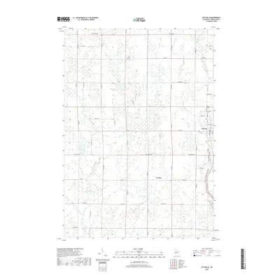
2018 Map of Pittsville
USGS Topo · Published 2018About this map
Pittsville serves as the primary hub in this Wood County landscape, situated along the banks of the Yellow River. To the west, the smaller settlement of Veedum occupies a stretch of land defined by its network of rural routes like Co Hwy E and Co Hwy V. The terrain is characterized by complex hydrology and subtle elevations, most notably at Cary Mound in the northwest. Waterways such as Rocky Run, Rocky Creek, and Turner Creek cross the territory, eventually feeding into the East Fork Black River. Genealogists and local historians will find value in the location of the Saint Joachims Cem and Mound Cem, both positioned near the established town limits of Pittsville. The presence of Little Bull Falls on the Yellow River indicates a point of geological and perhaps early industrial interest for those studying the area's development.
Find a feature on this map
53 named features on this map. Tap any name to fly to it.
Don’t see what you’re looking for? This feature index may not catch every label — zoom into the map to look around manually.
Map Details
Editions of this 2018 Pittsville Map
This is the sole edition of this map. No revisions or reprints were ever made.
Other maps of this area

1953 · Eau Claire
USGS Topo · 1:250,000

1954 · Granton
USGS Topo · 1:62,500

1954 · Marshfield
USGS Topo · 1:62,500

1957 · Pittsville
USGS Topo · 1:48,000

1957 · City Point
USGS Topo · 1:48,000

1958 · Eau Claire
USGS Topo · 1:250,000

1964 · Eau Claire
USGS Topo · 1:250,000

1967 · Pittsville
USGS Topo · 1:62,500

1970 · City Point NE
USGS Topo · 1:24,000
1970 · City Point
USGS Topo · 1:24,000