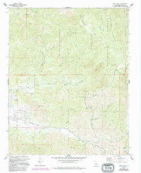
1972 Map of Piute Peak
USGS Topo · Published 1994About this map
Piute Peak and the high ridges of the Sequoia National Forest dominate this Kern County landscape as it appeared in the 1970s and 1980s. The map reveals a history of resource extraction and seasonal grazing, evidenced by the King Solomons Mine and Horshoe Mine tucked into the northern canyons. To the southwest, the relatively flat terrain of Walker Basin provides a sharp contrast to the surrounding summits, hosting features like a Landing Strip and the Joe Walker Mine. High-altitude meadows and water sources such as Brown Meadow, Bracchi Spring, and Yates Hot Springs suggest a network of backcountry travel and stock management. A complex system of drainage, including King Solomons Canyon and Thompson Creek, defines the local topography, while scattered cemeteries and remote structures provide clues for genealogists and local historians.
Find a feature on this map
48 named features on this map. Tap any name to fly to it.
Don’t see what you’re looking for? This feature index may not catch every label — zoom into the map to look around manually.
Map Details
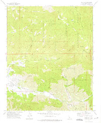
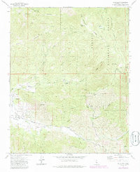
Editions of this 1972 Piute Peak Map
3 editions found
Other maps of this area

1906 · Kernville
USGS Topo · 1:125,000

1908 · Kernville
USGS Topo · 1:125,000

1914 · Caliente
USGS Topo · 1:125,000

1915 · Mojave
USGS Topo · 1:125,000

1920 · Delonagha
USGS Topo · 1:62,500

1926 · Glennville
USGS Topo · 1:62,500

1936 · Tobias Peak
USGS Topo · 1:125,000

1943 · Emerald Mtn
USGS Topo · 1:62,500

1943 · Breckenridge Mountain
USGS Topo · 1:62,500

1943 · Tobias Peak
USGS Topo · 1:125,000