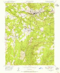
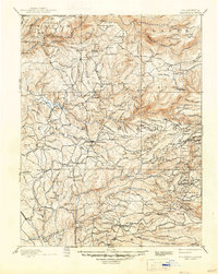
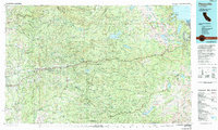
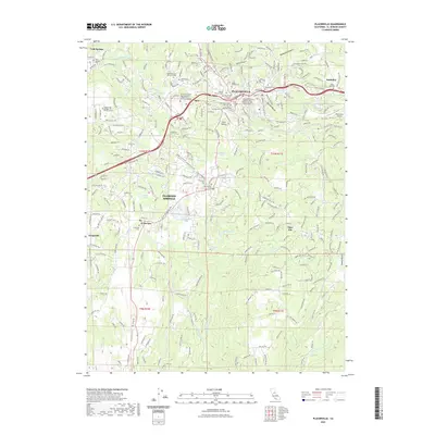
1949 Map of Placerville
USGS Topo · Published 1956About this map
Placerville and its surrounding gold country foothills are documented here in the late 1940s, showing a landscape defined by its mining heritage and early agricultural development. The map reveals the transition from active mining to a more settled rural economy, with several "Site" labels marking former settlements like Logtown and Cold Springs. Industry is represented by the Southern Pacific railroad line and numerous mining operations including the Starlight Mine, Union Mine, and Shaw Mine.
Find a feature on this map
62 named features on this map. Tap any name to fly to it.
Don’t see what you’re looking for? This feature index may not catch every label — zoom into the map to look around manually.
Map Details
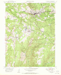
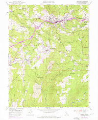
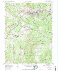
Editions of this 1949 Placerville Map
5 editions found
Historical Maps of Placerville Through Time
12 maps found

1891 Placerville
El Dorado County, CA

1892 Placerville
El Dorado County, CA
1893 Placerville
El Dorado County, CA
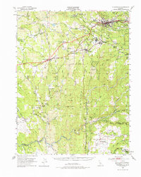
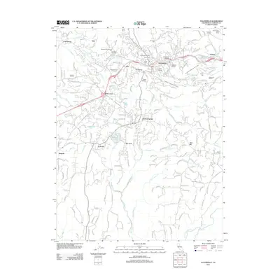
1949 Placerville
El Dorado County, CA
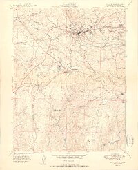
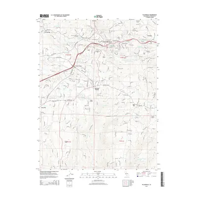
1949 Placerville
El Dorado County, CA
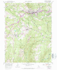
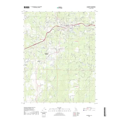
1950 Placerville
El Dorado County, CA
1976 Placerville
El Dorado County, CA
2012 Placerville
El Dorado County, CA
2015 Placerville
El Dorado County, CA
2018 Placerville
El Dorado County, CA
2022 Placerville
El Dorado County, CA
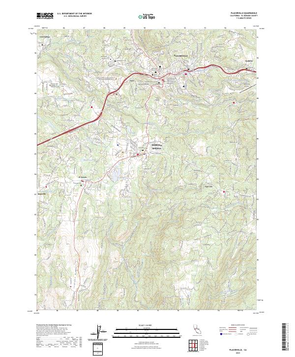
2023 Placerville
El Dorado County, CA