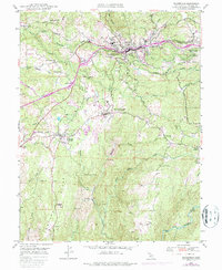
1949 Map of Placerville
USGS Topo · Published 1987About this map
Placerville and its surrounding gold country foothills are mapped here during a period of transition as the post-war era brought modern infrastructure to historic landscapes. The Southern Pacific railroad corridor and the Placerville Airport atop Texas Hill mark the growing transportation network, while the deeper terrain still carries the names of its mining heritage. Features like Logtown and Cold Springs indicate locations of earlier importance that had shifted by mid-century. Industry remains visible through the Union Mine, Starlight Mine, and various quarries scattered across the ridges. The landscape is defined by the steep descents toward the North Fork Cosumnes River and the complex drainage of Weber Creek, where numerous small schools like Oak Hill Sch and Missouri Flat Sch once served rural families across El Dorado County.
Find a feature on this map
54 named features on this map. Tap any name to fly to it.
Don’t see what you’re looking for? This feature index may not catch every label — zoom into the map to look around manually.
Map Details
Editions of this 1949 Placerville Map
5 editions found
Other maps of this area

1891 · Placerville
USGS Topo · 1:125,000

1892 · Placerville
USGS Topo · 1:125,000

1893 · Placerville
USGS Topo · 1:125,000

1947 · Sacramento
USGS Topo · 1:250,000

1948 · Sacramento
USGS Topo · 1:250,000

1949 · Georgetown
USGS Topo · 1:62,500

1949 · Placerville
USGS Topo · 1:62,500

1949 · Placerville
USGS Topo · 1:24,000
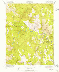
1949 · Coloma
USGS Topo · 1:24,000
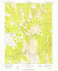
1949 · Latrobe
USGS Topo · 1:24,000