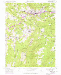
1949 Map of Placerville
USGS Topo · Published 1976About this map
Placerville serves as the focal point of this Gold Country landscape, situated where Hangtown Creek and the Southern Pacific railroad corridor meet. The 1949 data, updated with 1973 revisions, reveals a transition from traditional resource extraction to modern infrastructure. While long-standing community markers like the El Dorado Co Fairgrounds and the High Sch anchor the town, the surrounding hills are dotted with evidence of the area's mining heritage, including the Union Mine, Crusader Mine, and several unnamed mines near Logtown (Site).
Find a feature on this map
56 named features on this map. Tap any name to fly to it.
Don’t see what you’re looking for? This feature index may not catch every label — zoom into the map to look around manually.
Map Details
Editions of this 1949 Placerville Map
5 editions found
Other maps of this area

1891 · Placerville
USGS Topo · 1:125,000

1892 · Placerville
USGS Topo · 1:125,000

1893 · Placerville
USGS Topo · 1:125,000

1947 · Sacramento
USGS Topo · 1:250,000

1948 · Sacramento
USGS Topo · 1:250,000

1949 · Georgetown
USGS Topo · 1:62,500

1949 · Placerville
USGS Topo · 1:62,500

1949 · Placerville
USGS Topo · 1:24,000
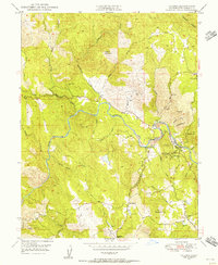
1949 · Coloma
USGS Topo · 1:24,000
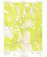
1949 · Latrobe
USGS Topo · 1:24,000