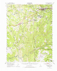
1949 Map of Placerville
USGS Topo · Published 1977About this map
Placerville and the neighboring Mother Lode settlements are depicted here as they appeared in the late 1940s, a landscape deeply marked by its gold-mining heritage. Industrial sites such as the Union Mine, Starlight Mine, and the Crystal Mine dot the terrain, while the Southern Pacific railroad provides a vital transportation link through Shingle Springs and Diamond Springs. The presence of the Shingle Springs Indian Reservation and several historic sites like the Logtown (Site) near Nashville reflect the complex layers of residency and settlement in El Dorado County.
Find a feature on this map
107 named features on this map. Tap any name to fly to it.
Don’t see what you’re looking for? This feature index may not catch every label — zoom into the map to look around manually.
Map Details
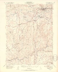
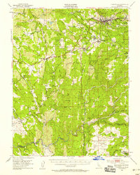
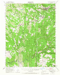
Editions of this 1949 Placerville Map
5 editions found

Other maps of this area

1889 · Jackson
USGS Topo · 1:125,000

1891 · Sacramento
USGS Topo · 1:125,000

1891 · Placerville
USGS Topo · 1:125,000

1892 · Jackson
USGS Topo · 1:125,000

1892 · Sacramento
USGS Topo · 1:125,000

1892 · Placerville
USGS Topo · 1:125,000

1893 · Placerville
USGS Topo · 1:125,000

1893 · Sacramento
USGS Topo · 1:125,000

1894 · Lodi
USGS Topo · 1:125,000

1897 · Jackson
USGS Topo · 1:125,000