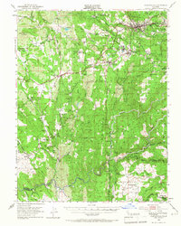
1949 Map of Placerville
USGS Topo · Published 1966About this map
Placerville and the surrounding Gold Country foothills are documented here during a period of transition in the late 1940s. The landscape is defined by the deep-cut forks of the Cosumnes River and the enduring infrastructure of the Mother Lode's mining era, including the Southern Pacific railroad line connecting Shingle Springs to the valley. The map reveals a dense network of specialized sites, from the Shingle Springs Indian Reservation to the Placerville Airport and the Placerville Golf Club, reflecting both long-standing cultural foundations and post-war recreational development. Local history is etched into the terrain via numerous mines like the Funny Bug Mine and Church Mine, alongside scattered rural schoolhouses such as Tennessee School and French Creek Sch. The convergence of industrial ruins, such as the Logtown Site, and active agriculture in the Shenandoah Valley highlights the evolving economy of El Dorado County.
Find a feature on this map
111 named features on this map. Tap any name to fly to it.
Don’t see what you’re looking for? This feature index may not catch every label — zoom into the map to look around manually.
Map Details
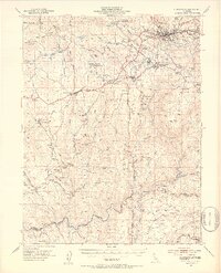
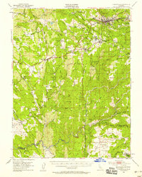
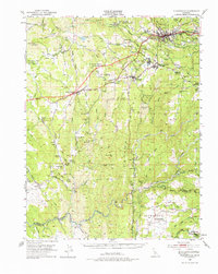
Editions of this 1949 Placerville Map
5 editions found

Other maps of this area

1889 · Jackson
USGS Topo · 1:125,000

1891 · Sacramento
USGS Topo · 1:125,000

1891 · Placerville
USGS Topo · 1:125,000

1892 · Jackson
USGS Topo · 1:125,000

1892 · Sacramento
USGS Topo · 1:125,000

1892 · Placerville
USGS Topo · 1:125,000

1893 · Placerville
USGS Topo · 1:125,000

1893 · Sacramento
USGS Topo · 1:125,000

1894 · Lodi
USGS Topo · 1:125,000

1897 · Jackson
USGS Topo · 1:125,000