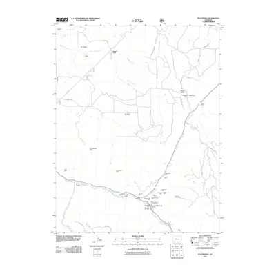
2022 Map of Placerville
USGS Topo · Published 2022About this map
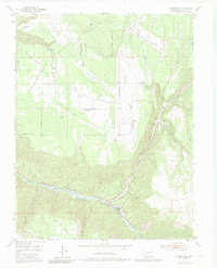
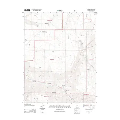
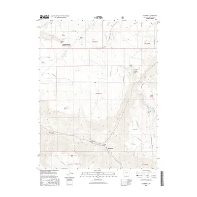
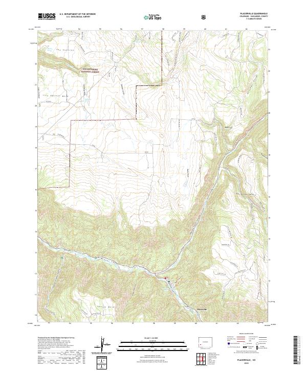
Placerville stands at the confluence of Leopard Cr and the San Miguel River, serving as a focal point for the surrounding high mesa ranchlands and canyon topography. The settlement is deeply integrated into the landscape of the San Miguel Canyon, where the river winds through steep terrain between Hastings Mesa and Specie Mesa. This 2022 survey illustrates a modern network of private ranch roads and public trails, including Whiskey Charlie Trl and Angell Lode Trl, which connect the elevated pastures to the valley floor.
Find a feature on this map
66 named features on this map. Tap any name to fly to it.
Don’t see what you’re looking for? This feature index may not catch every label — zoom into the map to look around manually.
Map Details
Editions of this 2022 Placerville Map
This is the sole edition of this map. No revisions or reprints were ever made.
Historical Maps of Placerville Through Time
6 maps found