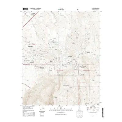
2013 Map of Placitas
USGS Topo · Published 2013About this map
Santa Ana Pueblo and Algodones occupy the lowlands where the terrain slopes toward the river, while the eastern reaches of the map climb into the steep northern foothills of the Sandia Mountains. This 2013 survey illustrates the modern residential expansion surrounding the traditional village of Placitas, with numerous named subdivisions such as Sundance Mesa, Puesta Del Sol, and Lomos Altos branching off NM-165. To the south, the boundary of the Cibola National Forest encompasses deep drainage systems like Cañon Agua Sarca and Palo Duroso Canyon. Local heritage sites are preserved throughout the landscape, from the Algodones Cem to the Placitas Cem and the Placitas Community Library. The transition from valley settlements to higher-elevation ranching is marked by the presence of the Diamond Tail Ranch and El Rancho de San Francisco.
Find a feature on this map
59 named features on this map. Tap any name to fly to it.
Don’t see what you’re looking for? This feature index may not catch every label — zoom into the map to look around manually.
Map Details
Editions of this 2013 Placitas Map
This is the sole edition of this map. No revisions or reprints were ever made.
Other maps of this area

1888 · Bernalillo
USGS Topo · 1:125,000

1889 · Albuquerque
USGS Topo · 1:125,000

1892 · San Pedro
USGS Topo · 1:125,000

1893 · Albuquerque
USGS Topo · 1:125,000

1934 · Alameda
USGS Topo · 1:24,000

1938 · Albuquerque
USGS Topo · 1:62,500

1954 · Sandia Crest
USGS Topo · 1:24,000

1954 · Alameda
USGS Topo · 1:24,000

1954 · San Felipe Pueblo
USGS Topo · 1:24,000

1954 · Placitas
USGS Topo · 1:24,000
Featured Places
- Puesta Del Sol, NM
- Sundance Mesa, NM
- Ranchos des Placitas, NM
- Village de las Huertas, NM
- Diamond Tail Ranch, NM