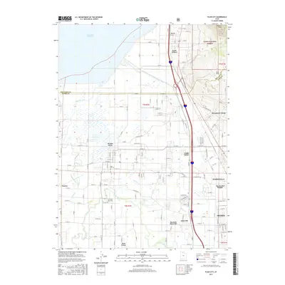
2017 Map of Plain City
USGS Topo · Published 2017About this map
The Weber River winds through the southern portion of this landscape, marking the transition between the agricultural plains and the rising slopes of the Wasatch Range. Established settlements like Plain City and Farr West are defined by a meticulous grid of rural roads, including W Gravel Rd N and N Plain City Rd, which historically supported the region's farming heritage. To the east, the topography shifts dramatically as the land climbs toward the Cache National Forest, where features like Cold Springs and Pole Patch overlook the valley below. For those researching family history, the Plain City Cem and West Weber-Taylor Cem serve as vital records of the area's early residents. The northern edge is dominated by the Willard Bay Reservoir, while numerous seasonal drainages such as First Salt Creek and Fourmile Cr illustrate the complex hydrology of the Great Salt Lake basin.
Find a feature on this map
86 named features on this map. Tap any name to fly to it.
Don’t see what you’re looking for? This feature index may not catch every label — zoom into the map to look around manually.
Map Details
Editions of this 2017 Plain City Map
This is the sole edition of this map. No revisions or reprints were ever made.
Other maps of this area

1954 · Whistler Canal
USGS Topo · 1:24,000

1954 · Ogden
USGS Topo · 1:250,000

1954 · Brigham City
USGS Topo · 1:250,000

1955 · Ogden
USGS Topo · 1:24,000

1955 · Plain City
USGS Topo · 1:24,000

1955 · Roy
USGS Topo · 1:24,000

1955 · Mantua
USGS Topo · 1:24,000

1955 · Plain City SW
USGS Topo · 1:24,000

1955 · Willard
USGS Topo · 1:24,000

1955 · North Ogden
USGS Topo · 1:24,000