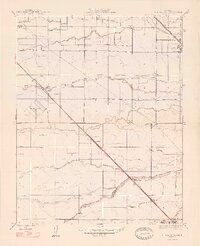
1947 Map of Plainsburg
USGS Topo · Published 1947About this map
Plainsburg and its surrounding agricultural plains are defined by an intricate network of waterways and the twin steel spines of the San Joaquin Valley’s major railroads. This landscape, surveyed under the direction of State Engineer Edward Hyatt, reveals a transition from the drainage sloughs of the north, including North Slough and South Slough, to the irrigation-critical Chowchilla River and Old Chowchilla Creek in the south. The proximity of the Southern Pacific and the Atchison Topeka and Santa Fe lines underscores the region's mid-century reliance on rail for moving goods from settlements like Athlone and Minturn. Local life is anchored by small community centers such as the Savana Sch and the Athlone Airport, while the Merced and Madera county line cuts across the southern reach of the quadrangle near Sierra Vista.
Find a feature on this map
25 named features on this map. Tap any name to fly to it.
Don’t see what you’re looking for? This feature index may not catch every label — zoom into the map to look around manually.
Map Details
Editions of this 1947 Plainsburg Map
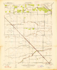
2 editions found
Other maps of this area

1914 · Merced
USGS Topo · 1:31,680

1915 · Owens Creek
USGS Topo · 1:31,680

1916 · Berenda
USGS Topo · 1:31,680

1917 · Merced
USGS Topo · 1:31,680

1918 · Bliss Ranch
USGS Topo · 1:31,680

1918 · Owens Creek
USGS Topo · 1:31,680

1918 · Lingard
USGS Topo · 1:31,680

1918 · Chowchilla
USGS Topo · 1:31,680

1918 · Berenda
USGS Topo · 1:31,680

1918 · Planada
USGS Topo · 1:31,680