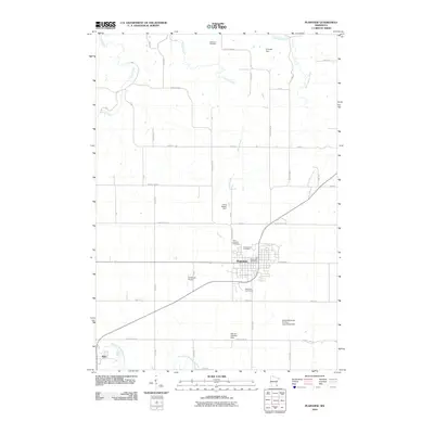
2010 Map of Plainview
USGS Topo · Published 2010About this map
The city of Plainview serves as the primary hub of this southeastern Minnesota landscape, where the agricultural grid is deeply etched by a network of creeks and drainage basins. Local infrastructure is concentrated around the town center, including the Plainview Post Office and multiple heritage sites such as Saint Joachim Cemetery and Greenwood Cemetery. To the west, the smaller settlement of Elgin sits near the banks of the North Fork Whitewater River, which flows across the southern portion of the sheet. The region is notable for its water management systems, featuring several named agricultural and pooling structures like the Hunter-Sprenger Pooling Agreement Dam and Wilmer Schmidt Dam. Transportation is defined by a dense county highway system, while Christison Airport and the Piper Hills Golf Course provide insights into the mid-twentieth-century recreational and utility development of the Wabasha County countryside.
Find a feature on this map
45 named features on this map. Tap any name to fly to it.
Don’t see what you’re looking for? This feature index may not catch every label — zoom into the map to look around manually.
Map Details
Editions of this 2010 Plainview Map
This is the sole edition of this map. No revisions or reprints were ever made.
Other maps of this area

1932 · Wabasha
USGS Topo · 1:62,500

1934 · Plainview
USGS Topo · 1:62,500

1935 · Rochester
USGS Topo · 1:48,000

1938 · Plainview
USGS Topo · 1:62,500

1939 · Rochester
USGS Topo · 1:62,500

1951 · Wabasha
USGS Topo · 1:62,500

1951 · Lake City
USGS Topo · 1:62,500

1953 · Saint Paul
USGS Topo · 1:250,000

1959 · Saint Paul
USGS Topo · 1:250,000
1972 · Plainview
USGS Topo · 1:24,000