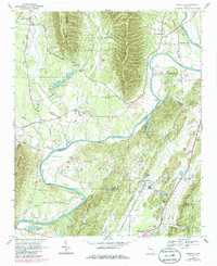
1968 Map of Plainville
USGS Topo · Published 1986About this map
The Oostanaula River carves a winding path through this corner of Northwest Georgia, marking the jagged boundary between Floyd and Gordon counties. Rural life in the late 1960s is centered around small crossroads like Plainville, Rosedale, and Curryville, with the Southern railroad line connecting the river valley's agricultural lands. The landscape is defined by the steep ridges of Horn Mountain and Turkey Mountain, which flank the Chattahoochee National Forest.
Find a feature on this map
65 named features on this map. Tap any name to fly to it.
Don’t see what you’re looking for? This feature index may not catch every label — zoom into the map to look around manually.
Map Details
Editions of this 1968 Plainville Map
2 editions found
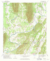
Other maps of this area

1886 · Dalton
USGS Topo · 1:125,000

1886 · Ringgold
USGS Topo · 1:125,000

1886 · Rome
USGS Topo · 1:125,000

1890 · Cartersville
USGS Topo · 1:125,000

1891 · Cartersville
USGS Topo · 1:125,000

1892 · Ringgold
USGS Topo · 1:125,000

1892 · Dalton
USGS Topo · 1:125,000

1896 · Cartersville
USGS Topo · 1:125,000

1897 · Dalton
USGS Topo · 1:125,000

1898 · Rome
USGS Topo · 1:125,000