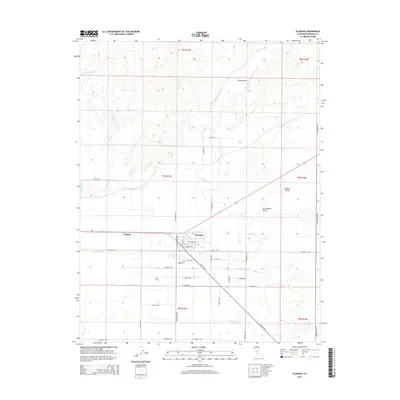
2015 Map of Planada
USGS Topo · Published 2015About this map
Planada and the nearby settlement of Calpack anchor this irrigation-focused landscape in the San Joaquin Valley. The map reveals a complex hydraulic network essential to the Central Valley agricultural economy, including the Le Grand Canal, Planada Canal, and various water management features like the Ivett Lateral and Vaughn Lateral. Natural drainage provided by Bear Creek, Burns Creek, and Mariposa Cr intersects with the rigid grid of rural roads and section lines.
Find a feature on this map
49 named features on this map. Tap any name to fly to it.
Don’t see what you’re looking for? This feature index may not catch every label — zoom into the map to look around manually.
Map Details
Editions of this 2015 Planada Map
This is the sole edition of this map. No revisions or reprints were ever made.
Other maps of this area

1914 · Merced
USGS Topo · 1:31,680

1915 · Owens Creek
USGS Topo · 1:31,680

1916 · Hopeton
USGS Topo · 1:31,680

1917 · Merced
USGS Topo · 1:31,680

1918 · Owens Creek
USGS Topo · 1:31,680

1918 · Lingard
USGS Topo · 1:31,680

1918 · Planada
USGS Topo · 1:31,680

1918 · La Grand
USGS Topo · 1:31,680

1919 · Indian Gulch
USGS Topo · 1:48,000

1919 · Haystack Mountain
USGS Topo · 1:31,680