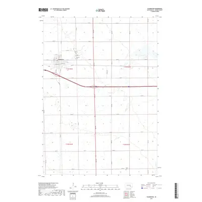
2017 Map of Plankinton
USGS Topo · Published 2017About this map
Plankinton serves as the central hub of this prairie landscape, where the grid of Aurora County meets the diagonal corridor of Interstate 90. The town's layout is defined by historic thoroughfares like E Commerce St and Pennington St, indicating a settlement built around transportation and local commerce. Beyond the town limits, the landscape is dotted with small wetlands and water bodies, most notably Fish Lake to the northeast and the winding path of Enemy Cr in the southeastern corner.
Find a feature on this map
28 named features on this map. Tap any name to fly to it.
Don’t see what you’re looking for? This feature index may not catch every label — zoom into the map to look around manually.
Map Details
Editions of this 2017 Plankinton Map
This is the sole edition of this map. No revisions or reprints were ever made.
Other maps of this area

1899 · Mitchell
USGS Topo · 1:125,000

1942 · Crow Lake
USGS Topo · 1:62,500

1955 · Mitchell
USGS Topo · 1:250,000

1959 · Mitchell
USGS Topo · 1:250,000

1979 · Crystal Lake
USGS Topo · 1:24,000

1979 · Aurora Center
USGS Topo · 1:24,000

1979 · Storla SW
USGS Topo · 1:24,000

1979 · Storla
USGS Topo · 1:24,000

1980 · Stickney
USGS Topo · 1:24,000

1980 · Old Stickney Lake
USGS Topo · 1:24,000
Featured Places
- Plankinton, SD
- Hopper Township, SD
- Plankinton Township, SD
- Pleasant Lake Township, SD
- Dudley Township, SD