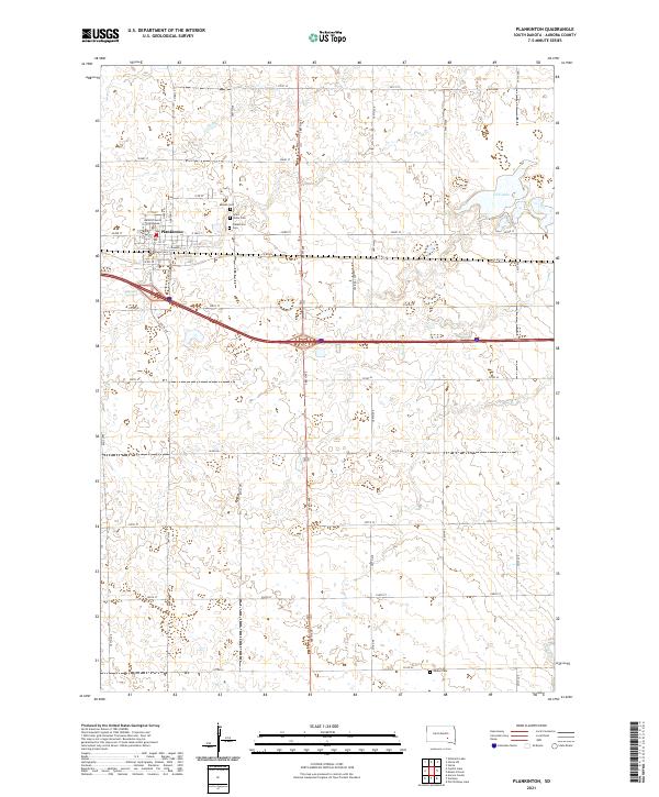
2021 Map of Plankinton
USGS Topo · Published 2021About this map
Plankinton serves as the focal point of this Aurora County landscape, characterized by a traditional grid of streets like N Main St and E Commerce St. As the county seat, the town is anchored by the Aurora County Courthouse, which stands near the heart of the community's residential and commercial blocks. The surrounding prairie is defined by a rigorous section-line road system, including 386th Ave and 253rd St, which connects several local burial grounds that provide significant genealogical value, such as Mizpah Cem, Saint Johns Cem, and the larger Plankinton Cem. To the east, the terrain yields to natural water features like Fish Lake, while the headwaters of Enemy Cr meander through the southern sections. This survey captures the town and its agricultural surroundings in the early 21st century, showing the enduring structure of the Great Plains' rural and civic organization.
Find a feature on this map
36 named features on this map. Tap any name to fly to it.
Don’t see what you’re looking for? This feature index may not catch every label — zoom into the map to look around manually.
Map Details
Editions of this 2021 Plankinton Map
This is the sole edition of this map. No revisions or reprints were ever made.
Other maps of this area

1899 · Mitchell
USGS Topo · 1:125,000

1942 · Crow Lake
USGS Topo · 1:62,500

1955 · Mitchell
USGS Topo · 1:250,000

1959 · Mitchell
USGS Topo · 1:250,000

1979 · Crystal Lake
USGS Topo · 1:24,000

1979 · Aurora Center
USGS Topo · 1:24,000

1979 · Storla SW
USGS Topo · 1:24,000

1979 · Storla
USGS Topo · 1:24,000

1980 · Stickney
USGS Topo · 1:24,000

1980 · Old Stickney Lake
USGS Topo · 1:24,000
Featured Places
- Plankinton, SD
- Hopper Township, SD
- Plankinton Township, SD
- Dudley Township, SD
- Pleasant Lake Township, SD