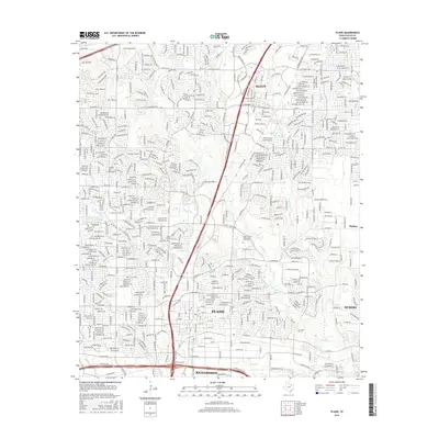
2016 Map of Plano
USGS Topo · Published 2016About this map
Plano and its surrounding communities in Collin Co reflect a landscape of dense suburban development and well-established transit corridors during the mid-2010s. The central axis of the area is defined by the US Hwy 75 Frontage Rd, which links the growing hubs of Allen to the north and Richardson to the south. While residential street grids dominate the topography, older points of local history remain visible, such as Bethany Cem and Mutual Cem.
Find a feature on this map
37 named features on this map. Tap any name to fly to it.
Don’t see what you’re looking for? This feature index may not catch every label — zoom into the map to look around manually.
Map Details
Editions of this 2016 Plano Map
This is the sole edition of this map. No revisions or reprints were ever made.
Other maps of this area

1891 · Dallas
USGS Topo · 1:125,000

1893 · Dallas
USGS Topo · 1:125,000

1924 · Mc Kinney 4-d
USGS Topo · 1:48,000

1929 · Frisco
USGS Topo · 1:62,500

1929 · McKinney
USGS Topo · 1:62,500

1931 · Carrollton
USGS Topo · 1:62,500

1954 · Dallas
USGS Topo · 1:250,000

1954 · Sherman
USGS Topo · 1:250,000

1958 · Dallas
USGS Topo · 1:250,000

1958 · Sherman
USGS Topo · 1:250,000