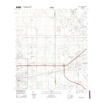
2015 Map of Plant City East
USGS Topo · Published 2015About this map
Plant City and the western outskirts of Lakeland dominate this 2015 study of the Hillsborough and Polk County line. The map documents a corridor of expanding infrastructure and established neighborhoods, notably around Winston and Galloway. Significant water features such as Itchepackesassa Cr and Blackwater Cr snake through the northern sections, while the south is defined by a dense grid of residential and commercial development.
Find a feature on this map
153 named features on this map. Tap any name to fly to it.
Don’t see what you’re looking for? This feature index may not catch every label — zoom into the map to look around manually.
Map Details
Editions of this 2015 Plant City East Map
This is the sole edition of this map. No revisions or reprints were ever made.
Other maps of this area

1944 · Plant City
USGS Topo · 1:31,680

1944 · Providence
USGS Topo · 1:31,680

1944 · Lakeland
USGS Topo · 1:31,680

1944 · Antioch
USGS Topo · 1:31,680

1944 · Socrum
USGS Topo · 1:31,680

1947 · Zephyrhills
USGS Topo · 1:24,000

1949 · Mulberry
USGS Topo · 1:24,000

1950 · Mulberry
USGS Topo · 1:24,000

1955 · Nichols
USGS Topo · 1:24,000

1955 · Dover
USGS Topo · 1:24,000