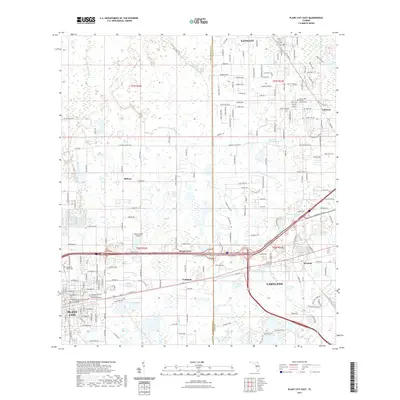
2021 Map of Plant City East
USGS Topo · Published 2021About this map
Lakeland and Plant City flank a landscape of citrus groves and expanding infrastructure in this modern topographic study of the Hillsborough and Polk County border. The map documents the dense residential development around Kathleen and Winston, while preserving the locations of long-standing community hubs like Mount Tabor Baptist Church and Mount Tabor Cem. The drainage patterns of the Itchepackesassa Cr and Blackwater Cr define the remaining open spaces between these growing municipal centers.
Find a feature on this map
186 named features on this map. Tap any name to fly to it.
Don’t see what you’re looking for? This feature index may not catch every label — zoom into the map to look around manually.
Map Details
Editions of this 2021 Plant City East Map
This is the sole edition of this map. No revisions or reprints were ever made.
Other maps of this area

1944 · Plant City
USGS Topo · 1:31,680

1944 · Providence
USGS Topo · 1:31,680

1944 · Lakeland
USGS Topo · 1:31,680

1944 · Antioch
USGS Topo · 1:31,680

1944 · Socrum
USGS Topo · 1:31,680

1947 · Zephyrhills
USGS Topo · 1:24,000

1949 · Mulberry
USGS Topo · 1:24,000

1950 · Mulberry
USGS Topo · 1:24,000

1955 · Nichols
USGS Topo · 1:24,000

1955 · Dover
USGS Topo · 1:24,000