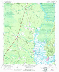
1943 Map of Plantersville
USGS Topo · Published 1989About this map
The riverfront culture of the Lowcountry is preserved here in this detailed 1943 survey of Georgetown and Horry counties. The landscape is defined by the winding course of the Great Pee Dee River and the Waccamaw River, where a concentration of historic riverfront estates like Holly Grove Plantation, Belle Reve Plantation, and Chicora Wood Plantation line the banks. These sites, along with Hasty Point Plantation and Exchange Plantation, reflect a legacy of land use tied to the region's complex tidal water systems.
Find a feature on this map
50 named features on this map. Tap any name to fly to it.
Don’t see what you’re looking for? This feature index may not catch every label — zoom into the map to look around manually.
Map Details
Editions of this 1943 Plantersville Map
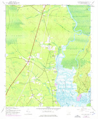
3 editions found
Other maps of this area

1942 · Magnolia Beach
USGS Topo · 1:24,000

1942 · Waverly Mills
USGS Topo · 1:24,000

1943 · Yauhannah
USGS Topo · 1:24,000

1943 · Bucksville
USGS Topo · 1:24,000

1943 · Carvers Bay
USGS Topo · 1:24,000

1943 · Brookgreen
USGS Topo · 1:24,000

1943 · Plantersville
USGS Topo · 1:24,000

1943 · Georgetown North
USGS Topo · 1:24,000

1943 · Outland
USGS Topo · 1:24,000

1944 · Outland
USGS Topo · 1:31,680