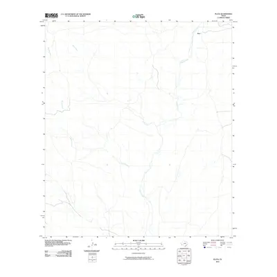
2010 Map of Plata
USGS Topo · Published 2010About this map
Alamito Creek winds through this arid expanse of Presidio County, serving as the primary drainage for a landscape defined by its network of ephemeral waterways. The small settlement of Plata sits in the northeast corner of the quadrangle, positioned near the creek's upper reaches where local roads converge. The topography is shaped by the desert hydrology of Kirby Creek and Sauceda Creek, which cross the terrain from the northwest and west. These watercourses are central to the region's character, dictating the placement of the few established ranch roads and structures in this corner of the Big Bend region. The map provides a detailed view of the drainage patterns and isolated tracks that have supported livestock and transport in this remote Texas territory since the early twentieth century.
Find a feature on this map
4 named features on this map. Tap any name to fly to it.
Don’t see what you’re looking for? This feature index may not catch every label — zoom into the map to look around manually.
Map Details
Editions of this 2010 Plata Map
This is the sole edition of this map. No revisions or reprints were ever made.
Other maps of this area

1896 · Shafter
USGS Topo · 1:125,000

1917 · Tascotal Mesa
USGS Topo · 1:62,500

1918 · Jordan Gap
USGS Topo · 1:62,500

1930 · Jordan Gap
USGS Topo · 1:62,500

1944 · Tascotal Mesa
USGS Topo · 1:62,500

1959 · Emory Peak
USGS Topo · 1:250,000

1959 · Presidio
USGS Topo · 1:250,000

1965 · Presidio
USGS Topo · 1:250,000

1965 · Emory Peak
USGS Topo · 1:250,000

1983 · Plata
USGS Topo · 1:24,000