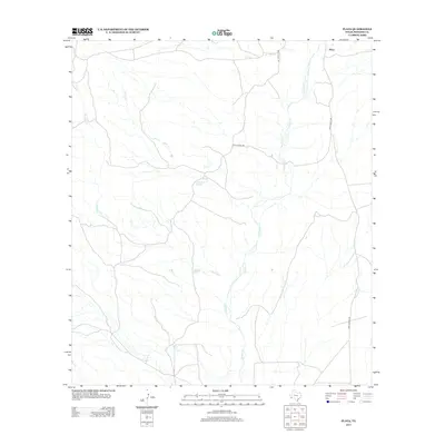
2012 Map of Plata
USGS Topo · Published 2012About this map
Plata sits at the northern edge of this high desert landscape in Presidio County, where the infrastructure of West Texas ranching is defined by the availability of water. The topography is shaped by the drainage systems of Alamito Cr, Sauceda Cr, and Kirby Cr, which carve seasonal paths through the arid terrain. Isolated water sources like Jack Brown Spring and Sauceda Spring represent vital points of interest for local history and land use, serving as the rare reliable anchors for habitation and livestock in this sparse environment. Ranch Road 169 provides the primary corridor through the area, tracing a route that parallels the natural north-south flow of the creeks and connects these remote outposts.
Find a feature on this map
7 named features on this map. Tap any name to fly to it.
Don’t see what you’re looking for? This feature index may not catch every label — zoom into the map to look around manually.
Map Details
Editions of this 2012 Plata Map
This is the sole edition of this map. No revisions or reprints were ever made.
Other maps of this area

1896 · Shafter
USGS Topo · 1:125,000

1917 · Tascotal Mesa
USGS Topo · 1:62,500

1918 · Jordan Gap
USGS Topo · 1:62,500

1930 · Jordan Gap
USGS Topo · 1:62,500

1944 · Tascotal Mesa
USGS Topo · 1:62,500

1959 · Emory Peak
USGS Topo · 1:250,000

1959 · Presidio
USGS Topo · 1:250,000

1965 · Presidio
USGS Topo · 1:250,000

1965 · Emory Peak
USGS Topo · 1:250,000

1983 · Plata
USGS Topo · 1:24,000