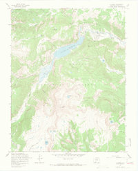
1967 Map of Platoro
USGS Topo · Published 1969About this map
Platoro sits at the heart of this high-elevation landscape, where the Conejos River meets the massive Platoro Reservoir. In the late 1960s, this area of the Rio Grande National Forest supported both industrial interests and backcountry recreation. The presence of the Mammoth Revenue Mine near Mammoth Mountain underscores the region's mining heritage, while the Continental Divide Trail and numerous named paths like the Lake Trail highlight its role for outdoorsmen. Water dominates the geography, from the headwaters of the Alamosa River in the north to the scattered alpine basins of Glacier Lake, Tobacco Lake, and the Twin Lakes. The map captures a moment when infrastructure like the reservoir's Gatehouse and Gaging Sta operated alongside established recreation sites such as Mix Lake Campground.
Find a feature on this map
49 named features on this map. Tap any name to fly to it.
Don’t see what you’re looking for? This feature index may not catch every label — zoom into the map to look around manually.
Map Details
Editions of this 1967 Platoro Map
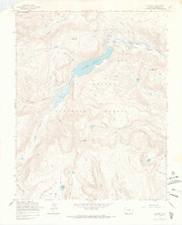
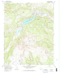
3 editions found
Other maps of this area

1913 · Summitville
USGS Topo · 1:125,000

1915 · Summitville
USGS Topo · 1:125,000

1922 · Conejos
USGS Topo · 1:125,000

1945 · Durango
USGS Topo · 1:250,000

1953 · Durango
USGS Topo · 1:250,000

1954 · Durango
USGS Topo · 1:250,000

1957 · Chama Peak
USGS Topo · 1:62,500

1961 · Durango
USGS Topo · 1:250,000

1963 · Durango
USGS Topo · 1:250,000

1966 · Durango
USGS Topo · 1:250,000