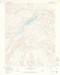
1967 Map of Platoro
USGS Topo · Published 1969About this map
Platoro sits at the high-altitude heart of the Rio Grande National Forest in this late 1960s survey. The landscape is dominated by the Platoro Reservoir, where infrastructure such as the Gatehouse and Gaging Sta manage the headwaters of the Conejos River. This area represents a classic intersection of high-country recreation and resource extraction, with the Mix Lake Campground and several Picnic Areas positioned near the legacy of the Mammoth Revenue Mine.
Find a feature on this map
54 named features on this map. Tap any name to fly to it.
Don’t see what you’re looking for? This feature index may not catch every label — zoom into the map to look around manually.
Map Details
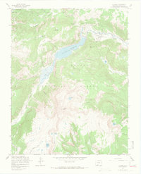
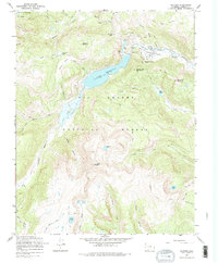
Editions of this 1967 Platoro Map
3 editions found
Other maps of this area

1913 · Summitville
USGS Topo · 1:125,000

1915 · Summitville
USGS Topo · 1:125,000

1922 · Conejos
USGS Topo · 1:125,000

1945 · Durango
USGS Topo · 1:250,000

1953 · Durango
USGS Topo · 1:250,000

1954 · Durango
USGS Topo · 1:250,000

1957 · Chama Peak
USGS Topo · 1:62,500

1961 · Durango
USGS Topo · 1:250,000

1963 · Durango
USGS Topo · 1:250,000

1966 · Durango
USGS Topo · 1:250,000