Loading...
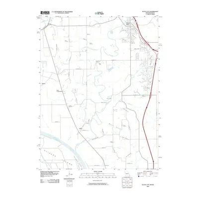
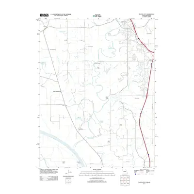
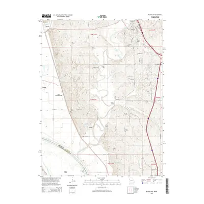
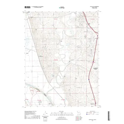
Loading map...1961 Map of Platte City
USGS Topo · Published 1986About this map
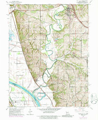
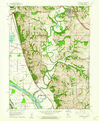
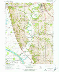
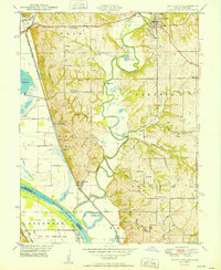
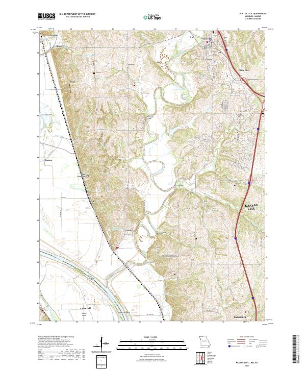
The Missouri River and Platte River converge in this mid-century topographic study, defining the low-lying bottomlands and high bluffs of the Missouri-Kansas border. The landscape is marked by the meandering path of the Platte, which features several crossings such as Dether Bridge and Humphrey Bridge before it meets the larger Missouri. Along the western edge, the Burlington Northern railroad tracks parallel the river, serving the riverside communities of Farley, Beverly, and East Leavenworth.
Find a feature on this map
45 named features on this map. Tap any name to fly to it.
Don’t see what you’re looking for? This feature index may not catch every label — zoom into the map to look around manually.
Map Details
Date Portrayed1961
Date Published1986
PublisherU.S. Geological Survey
Map TypeTopographic
Scale1:24,000
Physical Dimensions21.9 x 26.8 inches
Editions of this 1961 Platte City Map
4 editions found

Historical Maps of Kansas City Through Time
7 maps found
Featured Locations
Source Details
SourceU.S. Geological Survey
CopyrightPublic Domain