
1961 Map of Platte City
USGS Topo · Published 1971About this map
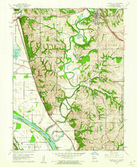
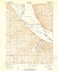
The Missouri River and Platte River converge in this 1961 survey, documenting the riverine borderlands of Missouri and Kansas. The landscape is defined by the shifting hydrology of the floodplain, evidenced by Sevenmile Island and numerous oxbow features like Horseshoe Lake and Mud Lake. Settlement patterns follow the high ground and rail lines, with Platte City and Tracy established to the north, while the Burlington Northern railroad links smaller river-valley communities like Farley and East Leavenworth.
Find a feature on this map
46 named features on this map. Tap any name to fly to it.
Don’t see what you’re looking for? This feature index may not catch every label — zoom into the map to look around manually.
Map Details
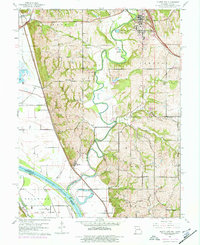
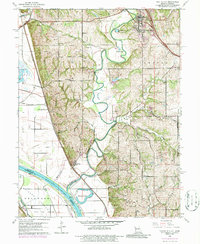
Editions of this 1961 Platte City Map
4 editions found
Other maps of this area

1890 · Kansas City
USGS Topo · 1:125,000

1894 · Kansas City
USGS Topo · 1:125,000

1910 · Leavenworth
USGS Topo · 1:62,500

1914 · Smithville
USGS Topo · 1:62,500

1934 · Bonner Springs
USGS Topo · 1:48,000

1934 · Wolcott
USGS Topo · 1:24,000

1940 · Bonner Springs
USGS Topo · 1:62,500
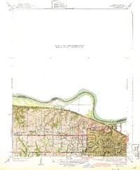
1943 · Quindaro
USGS Topo · 1:31,680
1948 · Wolcott
USGS Topo · 1:24,000

1948 · Leavenworth
USGS Topo · 1:62,500