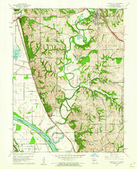
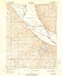
1961 Map of Platte City
USGS Topo · Published 1962About this map
The Platte River meanders through a landscape defined by sharp bluffs and rich bottomlands just before it joins the Missouri River at Delaware Bend. This early 1960s survey documents a region defined by agricultural heritage and river-bound transportation, centered on the historic county seat of Platte City. To the west, the Kansas State Penitentiary Farm occupies a prominent position near the state border, while the tracks of the Chicago Burlington and Quincy railroad cut a straight line across the western flats through Beverly and Farley.
Find a feature on this map
44 named features on this map. Tap any name to fly to it.
Don’t see what you’re looking for? This feature index may not catch every label — zoom into the map to look around manually.
Map Details
Editions of this 1961 Platte City Map
4 editions found

Other maps of this area

1890 · Kansas City
USGS Topo · 1:125,000

1894 · Kansas City
USGS Topo · 1:125,000

1910 · Leavenworth
USGS Topo · 1:62,500

1914 · Smithville
USGS Topo · 1:62,500

1934 · Bonner Springs
USGS Topo · 1:48,000

1934 · Wolcott
USGS Topo · 1:24,000

1940 · Bonner Springs
USGS Topo · 1:62,500
1943 · Quindaro
USGS Topo · 1:31,680
1948 · Wolcott
USGS Topo · 1:24,000

1948 · Leavenworth
USGS Topo · 1:62,500