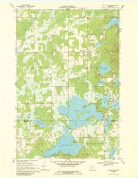
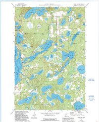
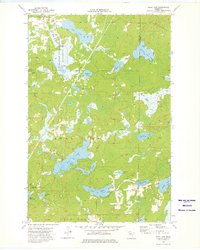
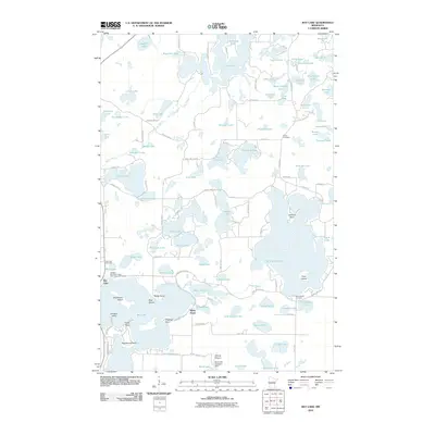
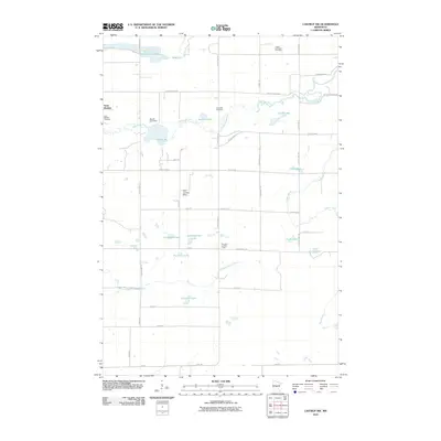
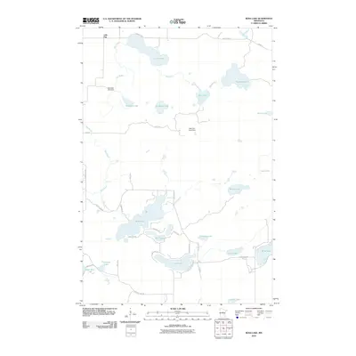
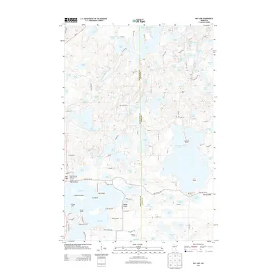
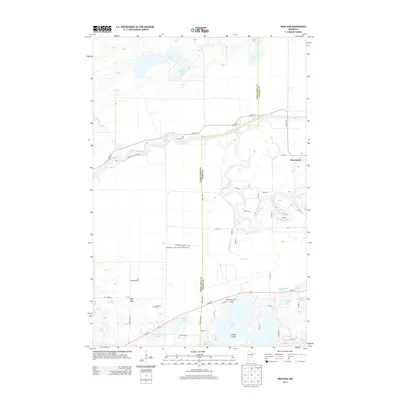
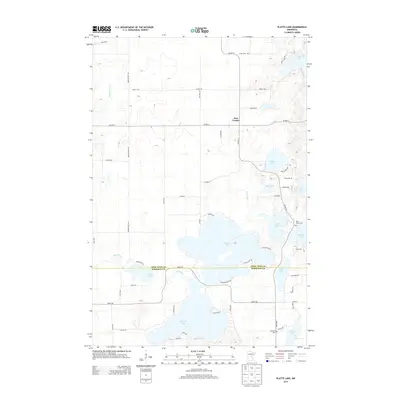
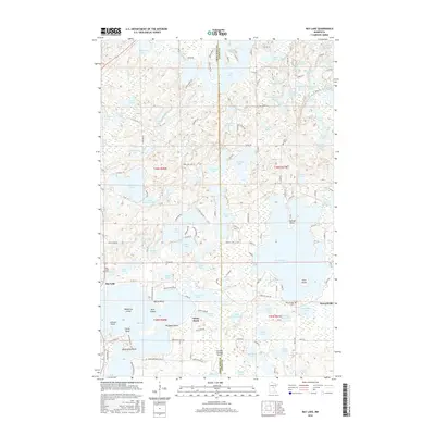
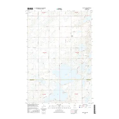
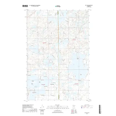
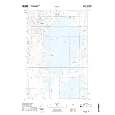
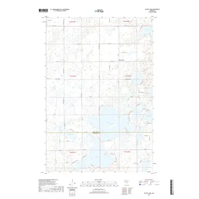
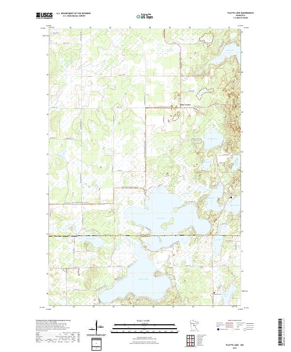
1968 Map of Platte Lake
USGS Topo · Published 1986About this map
The low-lying wetlands and glacial lake systems of central Minnesota dominate this landscape at the boundary of Crow Wing and Morrison counties. The extensive waters of Platte Lake and Sullivan Lake are central features, joined by the winding course of the Platte River. Human settlement is concentrated in small pockets, most notably at Pine Center, where the local road network converges near several Gravel Pits. For those tracing local heritage, the map identifies specific community landmarks including Emmanuel Ch in the north and Holy Family Ch further south, alongside the Lakeview Ch Cem. The terrain is a complex mix of marshes and woods, characteristic of the Maple Grove and Richardson townships, where small water bodies like Erskine Lake and Bulldog Lake dot the landscape.
Find a feature on this map
27 named features on this map. Tap any name to fly to it.
Don’t see what you’re looking for? This feature index may not catch every label — zoom into the map to look around manually.
Map Details
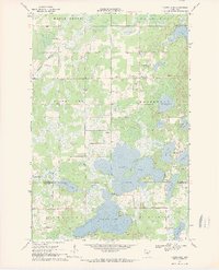
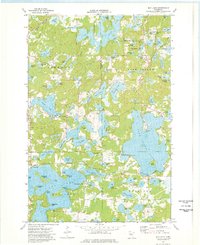
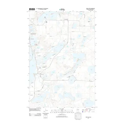
Editions of this 1968 Platte Lake Map
2 editions found
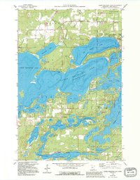
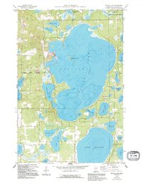
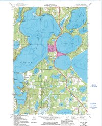
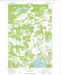
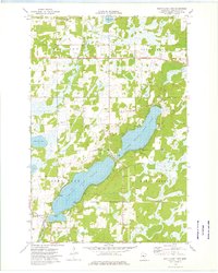
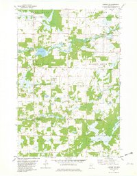
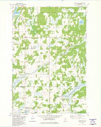
Historical Maps of Pine Center Through Time
72 maps found
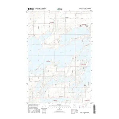
1959 Lower Whitefish Lake
Crow Wing County, MN
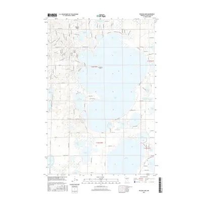
1959 Pelican Lake
Crow Wing County, MN
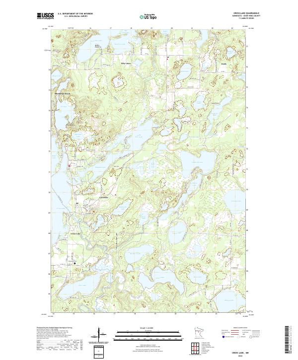
1960 Cross Lake
Crow Wing County, MN
1968 Platte Lake
Crow Wing County, MN
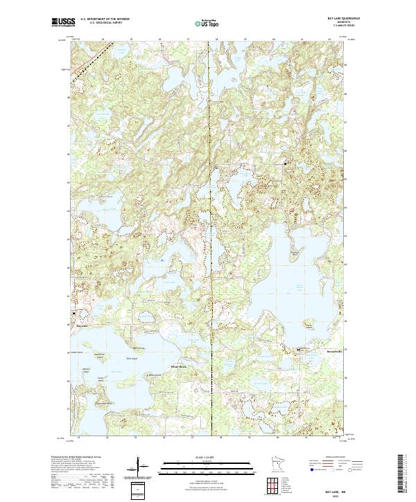
1973 Bay Lake
Crow Wing County, MN

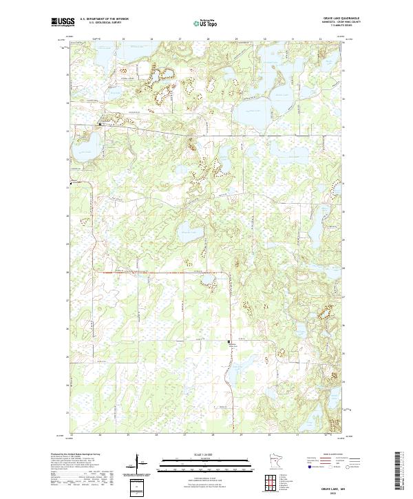
1973 Grave Lake
Crow Wing County, MN
1973 Gull Lake
Crow Wing County, MN
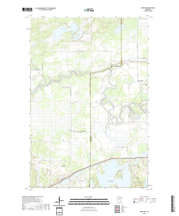
1973 Iron Hub
Crow Wing County, MN
1973 Ross Lake
Crow Wing County, MN
1973 South Long Lake
Crow Wing County, MN
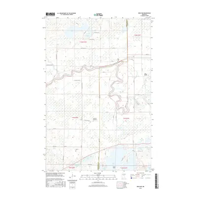
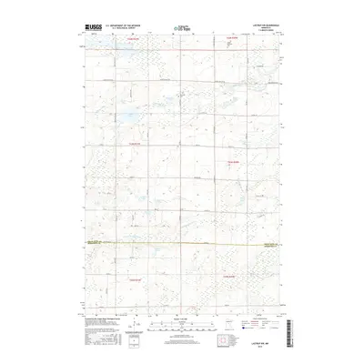
1981 Lastrup NW
Crow Wing County, MN
1981 Shephard
Crow Wing County, MN
2010 Bay Lake
Crow Wing County, MN
2010 Cross Lake
Crow Wing County, MN
2010 Grave Lake
Crow Wing County, MN
2010 Iron Hub
Crow Wing County, MN
2010 Lastrup NW
Crow Wing County, MN
2010 Lower Whitefish Lake
Crow Wing County, MN
2010 Pelican Lake
Crow Wing County, MN
2010 Platte Lake
Crow Wing County, MN
2010 Ross Lake
Crow Wing County, MN
2010 Shephard
Crow Wing County, MN
2010 South Long Lake
Crow Wing County, MN
2011 Gull Lake
Crow Wing County, MN
2013 Bay Lake
Crow Wing County, MN
2013 Cross Lake
Crow Wing County, MN
2013 Grave Lake
Crow Wing County, MN
2013 Gull Lake
Crow Wing County, MN
2013 Iron Hub
Crow Wing County, MN
2013 Lastrup NW
Crow Wing County, MN
2013 Lower Whitefish Lake
Crow Wing County, MN
2013 Pelican Lake
Crow Wing County, MN
2013 Platte Lake
Crow Wing County, MN
2013 Ross Lake
Crow Wing County, MN
2013 Shephard
Crow Wing County, MN
2013 South Long Lake
Crow Wing County, MN
2016 Bay Lake
Crow Wing County, MN
2016 Cross Lake
Crow Wing County, MN
2016 Grave Lake
Crow Wing County, MN
2016 Gull Lake
Crow Wing County, MN
2016 Iron Hub
Crow Wing County, MN
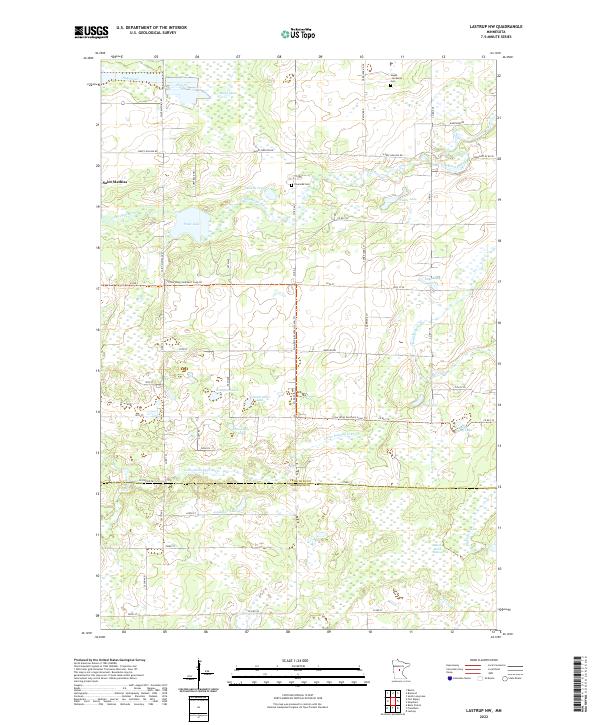
2016 Lastrup NW
Crow Wing County, MN
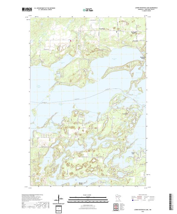
2016 Lower Whitefish Lake
Crow Wing County, MN
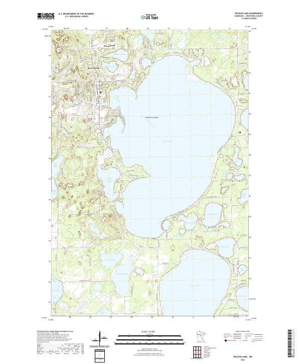
2016 Pelican Lake
Crow Wing County, MN
2016 Platte Lake
Crow Wing County, MN
2016 Ross Lake
Crow Wing County, MN
2016 Shephard
Crow Wing County, MN
2016 South Long Lake
Crow Wing County, MN
2019 Bay Lake
Crow Wing County, MN
2019 Cross Lake
Crow Wing County, MN
2019 Grave Lake
Crow Wing County, MN
2019 Gull Lake
Crow Wing County, MN
2019 Iron Hub
Crow Wing County, MN
2019 Lastrup NW
Crow Wing County, MN
2019 Lower Whitefish Lake
Crow Wing County, MN
2019 Pelican Lake
Crow Wing County, MN
2019 Platte Lake
Crow Wing County, MN
2019 Ross Lake
Crow Wing County, MN
2019 Shephard
Crow Wing County, MN
2019 South Long Lake
Crow Wing County, MN
2022 Bay Lake
Crow Wing County, MN
2022 Cross Lake
Crow Wing County, MN
2022 Grave Lake
Crow Wing County, MN
2022 Iron Hub
Crow Wing County, MN
2022 Lastrup NW
Crow Wing County, MN
2022 Lower Whitefish Lake
Crow Wing County, MN
2022 Pelican Lake
Crow Wing County, MN
2022 Platte Lake
Crow Wing County, MN
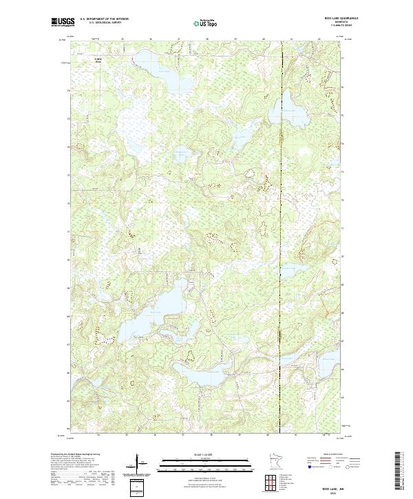
2022 Ross Lake
Crow Wing County, MN
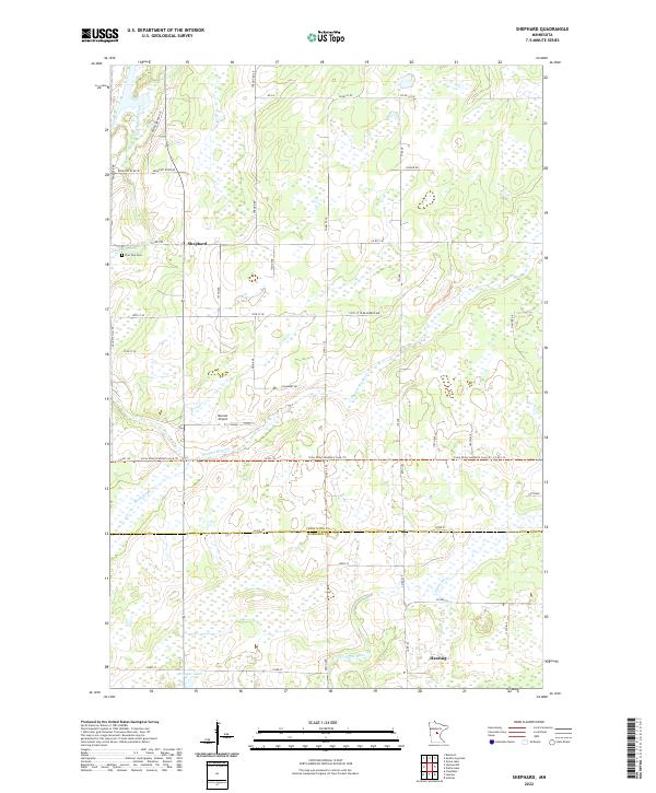
2022 Shephard
Crow Wing County, MN
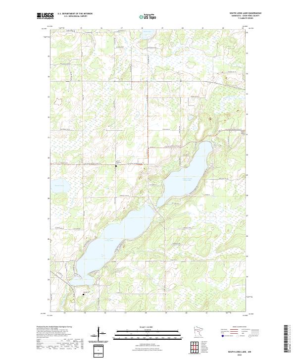
2022 South Long Lake
Crow Wing County, MN
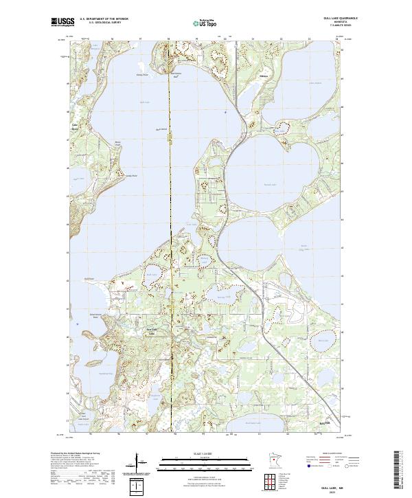
2023 Gull Lake
Crow Wing County, MN