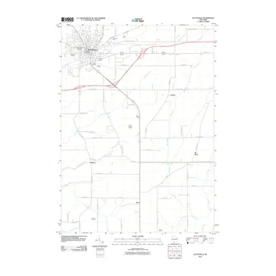
2010 Map of Platteville
USGS Topo · Published 2010About this map
Platteville sits at the heart of this southwestern Wisconsin landscape, dominated by the campus of the University of Wisconsin - Platteville and a legacy of mineral extraction. The map reveals a cluster of industrial history north of the city, where the Homestead Mine and Acme Mine are situated near Rountree Branch. Further south, the Rasque Mine appears near the Grant County Airport, illustrating the region's enduring connection to the lead and zinc mining traditions of Grant County.
Find a feature on this map
43 named features on this map. Tap any name to fly to it.
Don’t see what you’re looking for? This feature index may not catch every label — zoom into the map to look around manually.
Map Details
Editions of this 2010 Platteville Map
This is the sole edition of this map. No revisions or reprints were ever made.
Other maps of this area

1900 · Lancaster
USGS Topo · 1:125,000

1902 · Mineral Point
USGS Topo · 1:125,000

1904 · Lancaster
USGS Topo · 1:125,000

1908 · Lancaster
USGS Topo · 1:125,000

1952 · Platteville
USGS Topo · 1:24,000

1952 · Rewey
USGS Topo · 1:24,000

1952 · Cuba City
USGS Topo · 1:24,000

1952 · Belmont
USGS Topo · 1:24,000

1952 · New Diggings
USGS Topo · 1:24,000

1952 · Mifflin
USGS Topo · 1:24,000