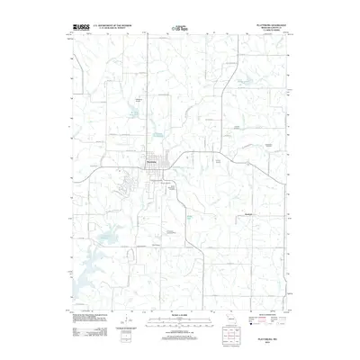
2012 Map of Plattsburg
USGS Topo · Published 2012About this map
Plattsburg serves as the central hub of this Missouri landscape, situated near the confluence of the Little Platte River and several of its tributaries, including Horse Fork and Funkhouser Creek. The town is surrounded by a notable concentration of airfields, such as the Plattsburg Airpark and Kimray Airport, reflecting the regional aviation activity of the early 21st century. To the southeast, the small settlement of Wexford sits along the river's winding path toward the Smithville Reservoir.
Find a feature on this map
72 named features on this map. Tap any name to fly to it.
Don’t see what you’re looking for? This feature index may not catch every label — zoom into the map to look around manually.
Map Details
Editions of this 2012 Plattsburg Map
This is the sole edition of this map. No revisions or reprints were ever made.
Other maps of this area

1890 · Kansas City
USGS Topo · 1:125,000

1894 · Kansas City
USGS Topo · 1:125,000

1894 · Independence
USGS Topo · 1:125,000

1914 · Smithville
USGS Topo · 1:62,500

1925 · Gower
USGS Topo · 1:62,500

1925 · Plattsburg
USGS Topo · 1:62,500

1936 · Kearney
USGS Topo · 1:48,000

1942 · Kearney
USGS Topo · 1:62,500

1945 · Kearney
USGS Topo · 1:62,500

1950 · Kansas City
USGS Topo · 1:250,000