Loading...
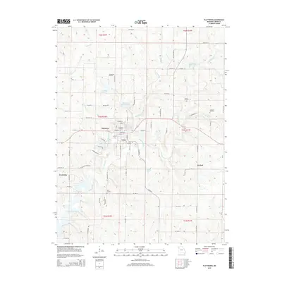
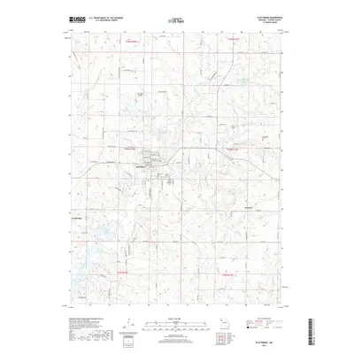
Loading map...2021 Map of Plattsburg
USGS Topo · Published 2021About this map
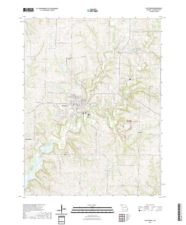
Plattsburg serves as the focal point of this Clinton County landscape, where the Clinton County Courthouse stands at the center of a well-defined street grid. The town's historical development is evident in the cluster of burial grounds surrounding the settlement, including Greenlawn Cem, Calvary Cem, and Mount Washington Cem. To the north, Plattsburg Airpark and the Plattsburg Old Reservoir indicate the modern infrastructure supporting the community.
Find a feature on this map
99 named features on this map. Tap any name to fly to it.
Don’t see what you’re looking for? This feature index may not catch every label — zoom into the map to look around manually.
Map Details
Date Portrayed2021
Date Published2021
PublisherU.S. Geological Survey
Map TypeTopographic
Scale1:24,000
Physical Dimensions24 x 29 inches
Editions of this 2021 Plattsburg Map
This is the sole edition of this map. No revisions or reprints were ever made.
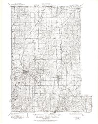
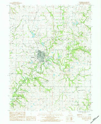
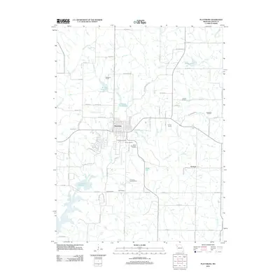
Historical Maps of Plattsburg Through Time
6 maps found
Featured Locations
Source Details
SourceU.S. Geological Survey
CopyrightPublic Domain