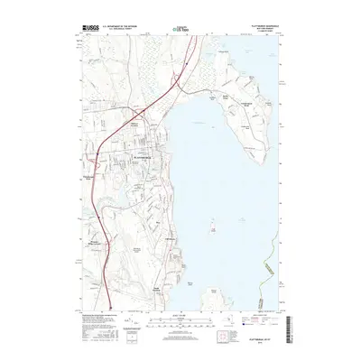
2016 Map of Plattsburgh
USGS Topo · Published 2016About this map
Plattsburgh anchors this Lake Champlain landscape, where the Saranac River and Salmon River meet the western shore. The city's mid-2010s layout is defined by the massive footprint of the Plattsburgh International Airport and the residential expansion into Halseys Corners and Plattsburgh West. This survey highlights the complex shoreline of Cumberland Head, a peninsula separating Treadwell Bay from Cumberland Bay.
Find a feature on this map
155 named features on this map. Tap any name to fly to it.
Don’t see what you’re looking for? This feature index may not catch every label — zoom into the map to look around manually.
Map Details
Editions of this 2016 Plattsburgh Map
This is the sole edition of this map. No revisions or reprints were ever made.
Other maps of this area

1894 · Plattsburg
USGS Topo · 1:62,500

1895 · Mooers
USGS Topo · 1:62,500

1895 · Rouse Point
USGS Topo · 1:62,500

1899 · Mooers
USGS Topo · 1:62,500

1906 · Plattsburg
USGS Topo · 1:62,500

1907 · Rouse Point
USGS Topo · 1:62,500

1913 · Dannemora
USGS Topo · 1:62,500

1939 · Rouses Point
USGS Topo · 1:62,500

1939 · Plattsburg
USGS Topo · 1:62,500

1941 · Plattsburg
USGS Topo · 1:62,500