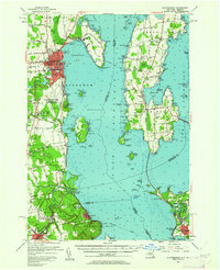
1956 Map of Plattsburgh
USGS Topo · Published 1962About this map
Plattsburgh dominates the western shore of Lake Champlain, anchored by the massive Plattsburgh Air Force Base and the historic U S Military Res. This mid-century survey reveals a landscape of transition, where the strategic military footprint sits alongside older educational and religious centers like Bellarmine College and St Josephs Ch. To the south, the natural wonder of Ausable Chasm and the marshes of Wickham Marsh define the rugged coastline near Port Kent.
Find a feature on this map
171 named features on this map. Tap any name to fly to it.
Don’t see what you’re looking for? This feature index may not catch every label — zoom into the map to look around manually.
Map Details
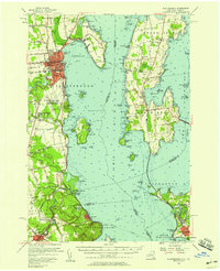
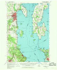
Editions of this 1956 Plattsburgh Map
Other maps of this area

1894 · Plattsburg
USGS Topo · 1:62,500

1895 · Mooers
USGS Topo · 1:62,500

1895 · Rouse Point
USGS Topo · 1:62,500

1895 · Willsboro
USGS Topo · 1:62,500

1895 · Ausable
USGS Topo · 1:62,500

1899 · Mooers
USGS Topo · 1:62,500

1903 · Ausable
USGS Topo · 1:62,500

1906 · Plattsburg
USGS Topo · 1:62,500

1906 · Burlington
USGS Topo · 1:62,500

1907 · Rouse Point
USGS Topo · 1:62,500