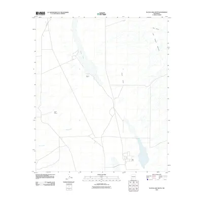
2010 Map of Playas Lake South
USGS Topo · Published 2010About this map
Playas Lake dominates this arid landscape in the Playas Valley, stretching as a significant ephemeral feature through the high desert of Grant County. The map documents a landscape defined by ranching operations and water scarcity, centered around the Whitmire Ranch and the nearby Whitmire Spring. To the west, the Hachita Cattle Company indicates the large-scale livestock interests that have long shaped this region. The terrain rises sharply to the east into the Little Hatchett Mountains, where drainage patterns like Bull Canyon feed into the basin. Seasonal watercourses such as Rough Creek highlight the drainage network that supports the cattle industry in this corner of New Mexico. Accessible via Baker Ranch Rd, the area remains a study in rural land management and the geographic isolation of the Southwest's basin and range province.
Find a feature on this map
9 named features on this map. Tap any name to fly to it.
Don’t see what you’re looking for? This feature index may not catch every label — zoom into the map to look around manually.
Map Details
Editions of this 2010 Playas Lake South Map
This is the sole edition of this map. No revisions or reprints were ever made.
Other maps of this area

1918 · Big Hatchet Peak
USGS Topo · 1:62,500

1918 · Hachita
USGS Topo · 1:62,500

1918 · Walnut Wells
USGS Topo · 1:62,500

1918 · Playas
USGS Topo · 1:62,500

1919 · Playas
USGS Topo · 1:62,500

1923 · Walnut Wells
USGS Topo · 1:62,500

1955 · Douglas
USGS Topo · 1:250,000

1959 · Douglas
USGS Topo · 1:250,000

1961 · Douglas
USGS Topo · 1:250,000

1964 · Douglas
USGS Topo · 1:250,000