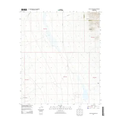
2013 Map of Playas Lake South
USGS Topo · Published 2013About this map
The high desert basin of Grant and Hidalgo counties unfolds in this 2013 survey, defined by the stark topography of the Little Hatchet Mountains and the northern edge of the Animas Mountains. Central to this landscape is the ephemeral Playas Lake, a desert playa that dominates the Playas Valley floor. The Presence of Whitmore Spring and the intermittent drainage of Rough Cr indicate the scarce but vital water sources that have historically shaped land use in this southwestern corner of New Mexico. Industrial and ranching access is traced via Baker Ranch Rd, Smelter Rd, and Gravel Pit Rd, highlighting the region's reliance on mineral extraction and livestock. Navigating through Bull Canyon, the map provides a clear record of the section lines and township boundaries that divide this open range.
Find a feature on this map
17 named features on this map. Tap any name to fly to it.
Don’t see what you’re looking for? This feature index may not catch every label — zoom into the map to look around manually.
Map Details
Editions of this 2013 Playas Lake South Map
This is the sole edition of this map. No revisions or reprints were ever made.
Other maps of this area

1918 · Big Hatchet Peak
USGS Topo · 1:62,500

1918 · Hachita
USGS Topo · 1:62,500

1918 · Walnut Wells
USGS Topo · 1:62,500

1918 · Playas
USGS Topo · 1:62,500

1919 · Playas
USGS Topo · 1:62,500

1923 · Walnut Wells
USGS Topo · 1:62,500

1955 · Douglas
USGS Topo · 1:250,000

1959 · Douglas
USGS Topo · 1:250,000

1961 · Douglas
USGS Topo · 1:250,000

1964 · Douglas
USGS Topo · 1:250,000