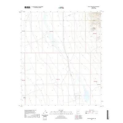
2020 Map of Playas Lake South
USGS Topo · Published 2020About this map
Playas Valley defines this arid landscape in New Mexico, where the ephemeral Playas Lake sits at the center of a wide interior drainage basin. This 2020 survey captures the basin's hydrology and industrial infrastructure at the transition between Grant Co and Hidalgo County. The desert floor is marked by vital water points like Whitmire Spring and the drainage of Rough Cr, while the edges of the quadrangle are framed by the rising elevations of the Little Hatchet Mountains to the northeast and the Animas Mountains to the southwest. Human activity is evidenced by the presence of Smelter Rd and Gravel Pit Rd, indicating the persistent connection between the valley floor and nearby industrial or mining operations. The topography of Bull Canyon further illustrates the complex drainage patterns that feed into the central dry lake bed during rare desert rain events.
Find a feature on this map
15 named features on this map. Tap any name to fly to it.
Don’t see what you’re looking for? This feature index may not catch every label — zoom into the map to look around manually.
Map Details
Editions of this 2020 Playas Lake South Map
This is the sole edition of this map. No revisions or reprints were ever made.
Other maps of this area
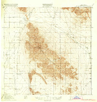
1918 · Big Hatchet Peak
USGS Topo · 1:62,500
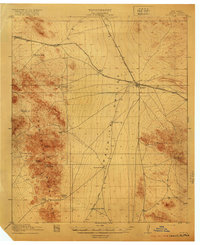
1918 · Hachita
USGS Topo · 1:62,500
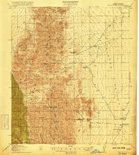
1918 · Walnut Wells
USGS Topo · 1:62,500
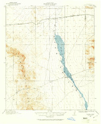
1918 · Playas
USGS Topo · 1:62,500
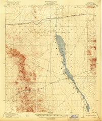
1919 · Playas
USGS Topo · 1:62,500
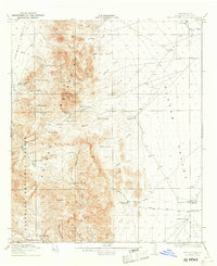
1923 · Walnut Wells
USGS Topo · 1:62,500
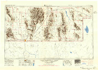
1955 · Douglas
USGS Topo · 1:250,000
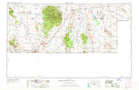
1959 · Douglas
USGS Topo · 1:250,000
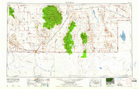
1961 · Douglas
USGS Topo · 1:250,000
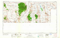
1964 · Douglas
USGS Topo · 1:250,000