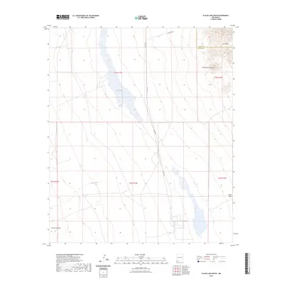
2023 Map of Playas Lake South
USGS Topo · Published 2023About this map
Playas Lake dominates the central basin of this New Mexico landscape, illustrating the ephemeral hydrology of the Playas Valley where water collected from the surrounding high ground settles into an expansive seasonal bed. The western edge is defined by the gradual rise of the Animas Mountains, while the eastern horizon is marked by the distinct peaks of the Little Hatchet Mountains and the winding descent of Bull Canyon.
Find a feature on this map
15 named features on this map. Tap any name to fly to it.
Don’t see what you’re looking for? This feature index may not catch every label — zoom into the map to look around manually.
Map Details
Editions of this 2023 Playas Lake South Map
This is the sole edition of this map. No revisions or reprints were ever made.
Other maps of this area

1918 · Big Hatchet Peak
USGS Topo · 1:62,500

1918 · Hachita
USGS Topo · 1:62,500

1918 · Walnut Wells
USGS Topo · 1:62,500

1918 · Playas
USGS Topo · 1:62,500

1919 · Playas
USGS Topo · 1:62,500

1923 · Walnut Wells
USGS Topo · 1:62,500

1955 · Douglas
USGS Topo · 1:250,000

1959 · Douglas
USGS Topo · 1:250,000

1961 · Douglas
USGS Topo · 1:250,000

1964 · Douglas
USGS Topo · 1:250,000